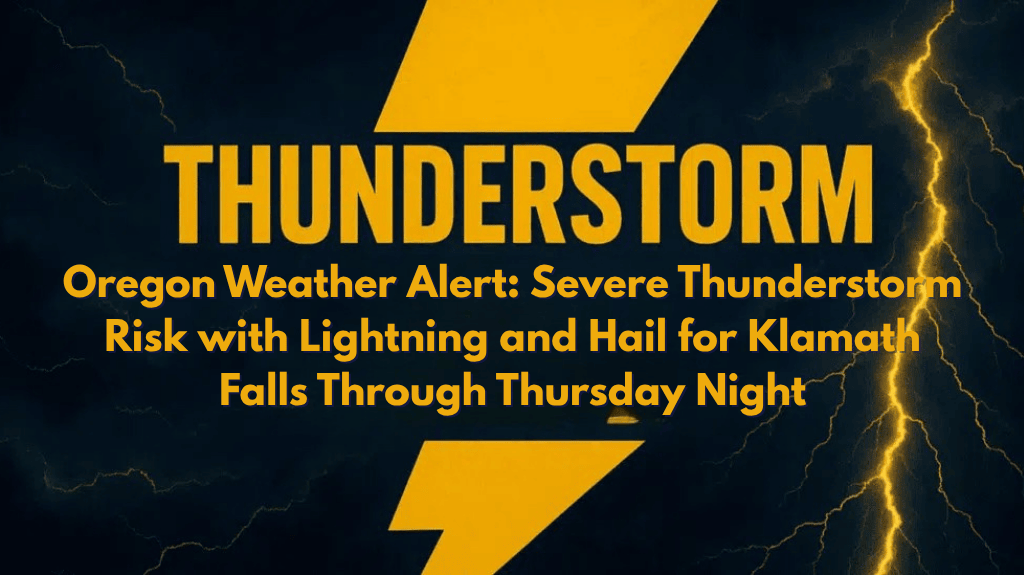
Southern Oregon is bracing for a series of severe thunderstorms that will bring dangerous weather conditions to the region. From Tuesday afternoon through Thursday night, areas including Klamath Falls, Lakeview, and the Crater Lake region are at heightened risk for lightning, gusty winds, and small hail.
What to Expect Over the Coming Days
The National Weather Service in Medford warns that Tuesday will bring significant cloud-to-ground lightning, which could pose a danger to those outdoors. In addition to the lightning, strong outflow winds of 40 to 55 mph are expected to cause sudden gusts, which could make driving hazardous. By Thursday, the risk of more severe thunderstorms will increase, with the possibility of small hail up to one inch in diameter and wind gusts reaching as high as 60 mph.
Areas Most Affected
The thunderstorm risks are expected to affect areas near highways 97 and 140, with particular concern for residents and travelers from Chiloquin to Paisley. The storms may impact visibility on roads, especially east of the Cascades, and debris could make travel even more challenging. Klamath Falls and Lakeview are especially at risk for these dangerous conditions.
Safety Precautions for Residents and Travelers
The National Weather Service advises all residents and travelers to stay alert for changing conditions. If you’re outdoors or planning activities in areas like Crater Lake or the Fremont-Winema National Forest, be sure to have a safety plan in place. The NWS recommends seeking sturdy shelter immediately if you hear thunder, as the storms can develop quickly.
Additionally, travelers should expect sudden drops in visibility and be prepared for debris on the roads. Those camping or hiking near the affected areas should take precautions and stay informed about the evolving storm conditions.
Ongoing Thunderstorm Risk and Updates
The severe thunderstorm risk remains elevated through Thursday night, and more watches or warnings could be issued as the weather pattern develops. The National Weather Service will continue to monitor the situation closely and provide updates to keep the public informed and safe.


