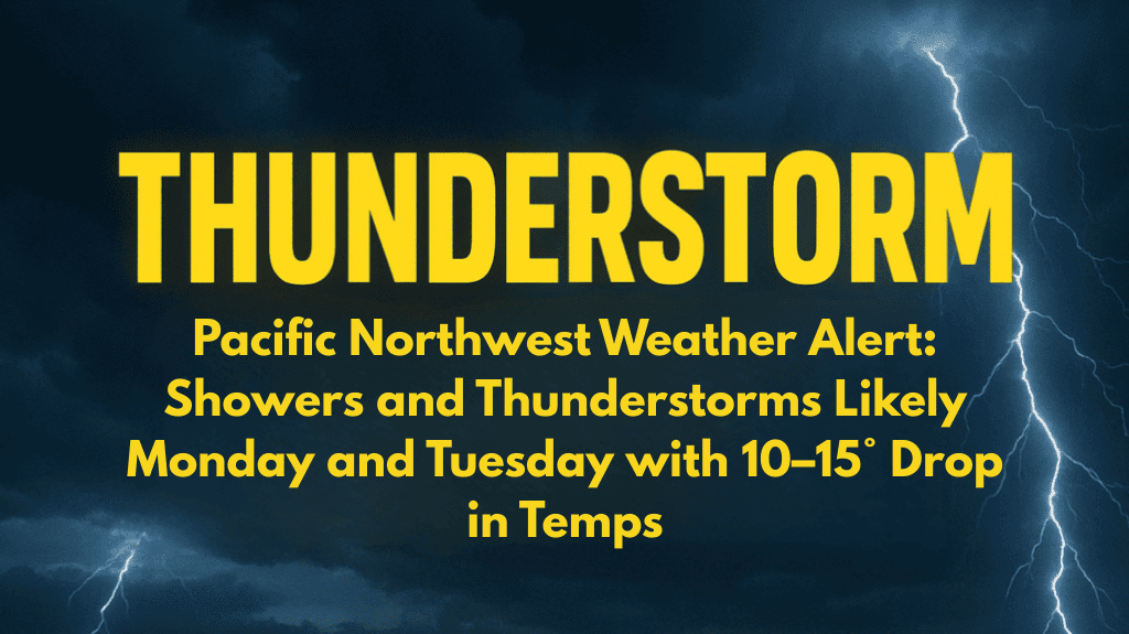
Medford, Oregon – Oregonians should brace themselves for a dramatic shift in weather as low pressure settles over the Pacific Northwest on Monday, bringing widespread rain and the possibility of thunderstorms through Tuesday night. Temperatures throughout the region will be 10 to 15 degrees lower than normal, more typical of late October than early September.
The National Weather Service in Medford predicts widespread showers, with a 20-40% chance of embedded thunderstorms on Monday and Tuesday.
Rainfall amounts of half an inch to three-quarters of an inch are possible west of the Cascades, with lower amounts in central and eastern Oregon.
Travelers on Interstate 5 and Highway 97 should expect heavy rain and reduced visibility, particularly during the morning and evening commute hours.
Localized ponding on roads may slow traffic. The agency advised residents to keep electronics charged in case of lightning-caused power outages and to avoid outdoor activities during thunderstorms.
Daytime highs will be in the 60s across the coast and higher Cascades, with the Rogue Valley remaining in the low 70s.
Cooler weather persists through midweek, with showers subsiding by Wednesday. If the storm develops further, additional advisories may be issued.


