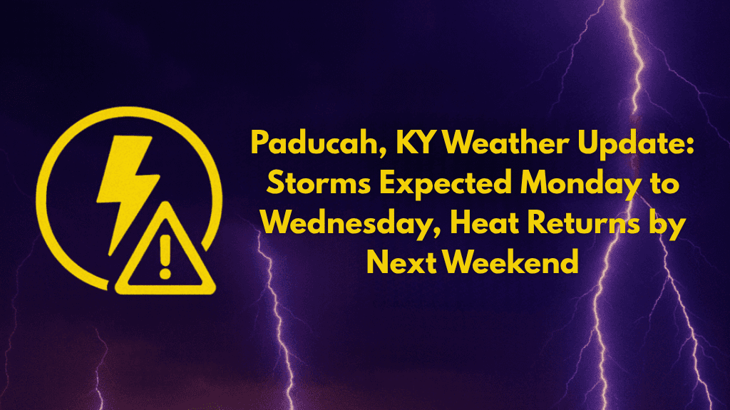
After a period of pleasant weather, western Kentucky is set for a shift toward unsettled conditions, with thunderstorms expected to develop from Monday through Wednesday.
The National Weather Service in Paducah has warned that while temperatures remain below normal this weekend, heat and humidity will surge back by next weekend, pushing the heat index toward 100°F.
Here’s what residents in Paducah, Murray, and Owensboro can expect over the next few days.
🌦️ Thunderstorm Risk: Monday to Wednesday
The weather pattern will shift starting Monday, July 31st, with a 50% or greater chance of thunderstorms each day through Wednesday. Thunderstorms are likely to affect Paducah, Murray, and Owensboro, and may cause localized downpours, lightning, and brief heavy rain. Areas with poor drainage or low-lying areas may be especially prone to minor flooding.
The thunderstorms will be most active during the morning and evening hours, potentially impacting commutes on major roads like I-24 and US-60. Drivers should be prepared for slick roads and rapidly changing conditions, especially during storm activity.
🌧️ Impact on Outdoor Plans
Outdoor plans could be disrupted by the thunderstorms. Residents should secure outdoor items that could be affected by gusty winds or heavy rain. If you have activities planned, be ready for brief delays or interruptions, particularly during the afternoon and evening hours when storms are most likely to develop.
🌡️ Weekend Heat Surge: Heat Index Approaching 100°F
While temperatures will remain in the upper 80s to low 90s through this weekend, low humidity will provide a temporary break from the typical intensity of summer heat. However, by next weekend, a surge in heat and humidity will return, driving the heat index back toward 100°F, making it feel much hotter outside.
Residents should prepare for the return of higher humidity, and stay hydrated as temperatures climb again toward the end of the week.
🌤️ Preparing for the Changing Weather
Here’s how to stay prepared for the coming weather changes:
Stay weather-aware and monitor alerts. You can receive up-to-date weather information through weather apps or local news channels.
Secure outdoor items like patio furniture, plants, or other lightweight objects that could be blown around by strong winds.
Plan for potential delays in outdoor events or travel during thunderstorms, especially in the late afternoon and evening.
🌞 Looking Ahead: More Heat and Humidity by Next Weekend
After the thunderstorms and unsettled conditions through midweek, the weather is expected to turn drier and much hotter by the weekend. With temperatures climbing back into the 90s and the humidity returning, Paducah and surrounding areas will feel more intense summer conditions.
🌧️ Five-Day Forecast for Paducah and Western Kentucky
| Date | Weather | High Temp | Low Temp | Additional Info |
|---|---|---|---|---|
| Sunday, July 30 | Pleasant, with low humidity | 88°F | 70°F | |
| Monday, July 31 | 50% chance of thunderstorms, localized flooding possible | 89°F | 72°F | Increased rain chances through afternoon and evening |
| Tuesday, August 1 | 50% chance of thunderstorms | 90°F | 73°F | Possible disruptions in afternoon/evening |
| Wednesday, August 2 | Continued thunderstorm risk, localized downpours and lightning | 91°F | 74°F | |
| Thursday, August 3 | Chance of storms decreasing, humidity begins to rise | 92°F | 74°F | |
| Friday, August 4 | Heat and humidity surge, making it feel closer to 100°F | 94°F | 75°F |
Paducah and western Kentucky will experience unsettled weather from Monday through Wednesday with thunderstorms, localized flooding, and gusty winds. While the weather will be pleasant this weekend, heat and higher humidity will make a return by next weekend, bringing another stretch of hot summer conditions. Stay weather-ready and keep an eye on weather alerts for any updates.