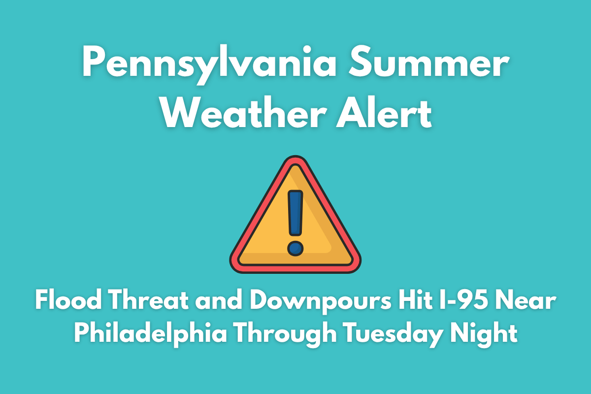
Heavy thunderstorms are expected to bring intense downpours and a flood risk to southeastern Pennsylvania, especially along the I-95 corridor near Philadelphia. A Flood Watch is in effect from 2 p.m. Tuesday through late tonight, with rainfall amounts ranging from 1 to 4 inches in just a few hours, potentially causing flash flooding.
Flooding Risk and Heavy Rainfall
The National Weather Service in Mount Holly has warned that storm drains could be overwhelmed by the sheer amount of rainfall, especially in Philadelphia, Camden, Trenton, Wilmington, and surrounding areas. Rapid street flooding is likely, particularly near creeks, underpasses, and low-lying neighborhoods. Cities like Cherry Hill, West Chester, and Doylestown are especially vulnerable to rising runoff.
Commute Disruptions and Safety Precautions
With localized rainfall expected to peak between 5 p.m. and 10 p.m. on Tuesday, drivers should be extra cautious during the evening commute, particularly along flood-prone areas like Route 1, I-76, and local roads near the Schuylkill River. Power outages may also occur, so residents are advised to charge their devices and avoid unnecessary travel during the downpours.
The stormy conditions will taper off by early Wednesday morning, but the flash flood threat remains high until the storms subside.
Five-Day Forecast for Philadelphia
| Day | Weather | High Temperature | Additional Information |
|---|---|---|---|
| Wednesday (July 2) | Showers and thunderstorms possible after 2 p.m. | 84°F | Rainfall totals will generally be light |
| Thursday (July 3) | Mostly sunny, slight chance of showers late in the day | 88°F | – |
| Friday (July 4) | Sunny and warm, ideal for outdoor activities | 85°F | – |
| Saturday (July 5) | Sunny and hot, typical summer heat returns | 91°F | – |
| Sunday (July 6) | Partly sunny, slight chance of late-day storms | 92°F | – |


