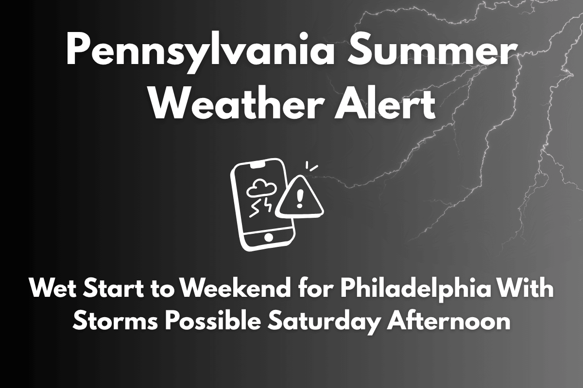
Philadelphia, PA – Scattered thunderstorms are expected to disrupt Saturday plans across eastern Pennsylvania, as humid air and afternoon instability trigger downpours beginning after 2 p.m. Saturday. The National Weather Service has issued a weather alert for the region, warning that conditions could become wet and stormy by mid-afternoon.
Saturday Storm Risks
A slight chance of showers and storms will begin late in the morning, but the likelihood of thunderstorms increases by mid-afternoon. While rainfall may total less than a tenth of an inch in some areas, heavier thunderstorms could bring higher amounts, particularly along the I-76 corridor and in central Philadelphia.
With high humidity and temperatures near 90°F, the air will remain muggy throughout the day, making conditions feel uncomfortable.
Winds will be calm in the morning, shifting from the south around 5 mph. However, during the heavier storms, drivers should expect reduced visibility and potential slowdowns on major regional roadways like I-95 and the Schuylkill Expressway. Lightning will be a primary hazard during the storms, so it’s important to move indoors when thunder roars.
Sunday and Monday Outlook
The rain will clear by Saturday night, giving way to a sunny and less humid Sunday, with highs around 90°F. A more settled day is expected, ideal for outdoor activities.
However, Monday will bring a renewed storm risk, with a 50% chance of afternoon thunderstorms. Temperatures will stay in the upper 80s to low 90s, keeping the summer heat around.
5-Day Philadelphia Forecast (June 27 – July 1):
| Day | Weather | High Temperature | Additional Information |
|---|---|---|---|
| Friday | Scattered showers late | 72°F | – |
| Saturday | Storms likely after 2 p.m. | 90°F | – |
| Sunday | Sunny and calm | 90°F | – |
| Monday | Afternoon thunderstorms possible | 91°F | – |
| Tuesday | Partly sunny, chance of storms late | 88°F | – |


