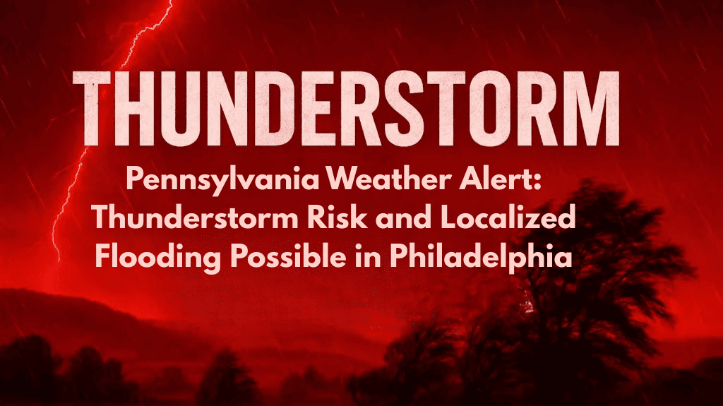
Philadelphia, Pa. – Hot and muggy weather will set the stage for scattered thunderstorms in the city on Sunday, with the risk increasing after 2 p.m. Residents, especially those near major roads like I-95, should stay alert for sudden rain, brief flooding, and possible disruptions as storms move into the region.
Weather Forecast for Sunday
The National Weather Service predicts that patchy morning fog will clear, giving way to mostly sunny skies with a high near 88°F. After lunchtime, thunderstorms are expected to develop, bringing a 30% chance of rain throughout the afternoon.
These storms can lead to slick roads, reduced visibility, and localized flooding, especially in low-lying areas and poorly drained streets. Drivers should use caution, particularly on busy roads like I-95 and city streets. South winds of about 5 mph will add to the humidity, making the air feel even hotter and stickier.
Flooding Risk and Safety Tips
Localized flooding is possible where heavy rain falls, and areas near rivers or those with poor drainage systems are at a higher risk. If thunderstorms are accompanied by lightning, head indoors immediately and postpone outdoor activities until the storm has passed.
There may also be brief power outages, especially if lightning strikes utility infrastructure. Residents are advised to secure loose items outside and ensure mobile devices are charged in case of disruptions.
Outlook for the Week Ahead
The thunderstorm risk continues into Monday, with showers likely before and after midday. Rain chances are expected to rise to 70%, and temperatures will remain hot, reaching 87°F. Thunderstorms will also be possible on Tuesday, with highs near 90°F. Expect more heat and humidity through the week, with daily rain chances and highs staying in the low 90s, continuing the summer storm pattern.
5-Day Philadelphia Summer Weather Forecast
Sunday: Patchy fog in the morning, thunderstorms likely after 2 p.m. High: 88°F
Monday: Showers and thunderstorms before and after midday. High: 87°F
Tuesday: Partly sunny, chance of afternoon storms. High: 90°F
Wednesday: Showers, thunderstorms possible after 2 p.m. High: 90°F
Thursday: Partly sunny, storms possible. High: 92°F
Philadelphia residents should stay prepared for thunderstorms and localized flooding on Sunday. The risk of storms and high humidity will continue through the week, so it’s important to stay updated on weather alerts and take necessary precautions to stay safe.


