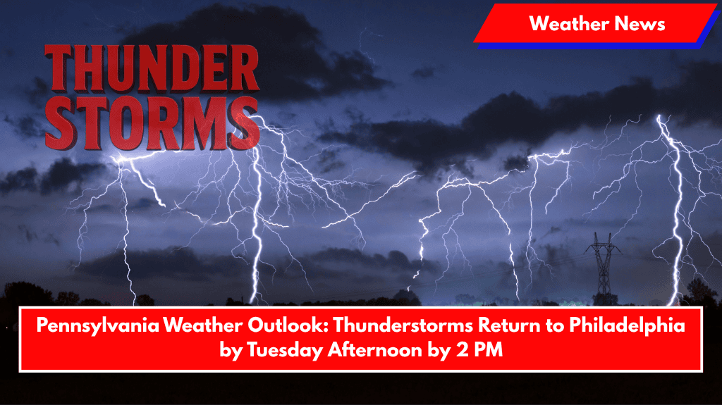
Philadelphia, Pennsylvania – A stormy Tuesday is on the way for southeastern Pennsylvania, as showers and thunderstorms are expected to roll into the region after 2 p.m. This could bring localized downpours and travel concerns to major routes like I-76 and I-95.
Storms Expected After 2 p.m.
The National Weather Service forecasts a 60% chance of rain and thunderstorms on Tuesday afternoon, with the potential for severe weather after 2 p.m. Winds will shift from the south at 5 mph, and later in the evening, they will shift west.
Rainfall totals could range from a quarter to half an inch, leading to potential travel delays and the risk of hydroplaning on slick roads during peak travel hours.
Daytime Conditions and Evening Cool-Down
Daytime highs will climb to 79°F under mostly cloudy skies, offering brief warmth before cooling down into the lower 60s in the evening. Although the threat for additional storms will linger through Tuesday night, the chances will decrease to 30% after dark. Commuters are advised to plan for delays and exercise caution when driving.
A Warm-Up Ahead for Midweek
Looking ahead, a major warm-up is expected starting Wednesday, with sunny skies and highs reaching 84°F. Temperatures will continue to rise throughout the week, with Thursday and Friday seeing highs near 90°F. Humidity will increase, making the heat feel even more intense.
Residents are encouraged to stay hydrated, limit outdoor activity during the hottest parts of the day, and keep weather alerts active on their mobile devices.
📅 Extended Forecast: June 9–14 for Philadelphia, PA
- Monday (Jun 9): High 73°F, chance of afternoon storms
- Tuesday (Jun 10): High 79°F, storms likely after 2 p.m.
- Wednesday (Jun 11): Sunny, high near 84°F
- Thursday (Jun 12): Partly cloudy, high near 90°F
- Friday (Jun 13): Mostly sunny, high near 90°F
- Saturday (Jun 14): Chance of showers, high near 80°F
Expect a stormy Tuesday afternoon with possible disruptions to travel, followed by a significant warm-up midweek. Be prepared for hot conditions later in the week, and take steps to stay cool and safe.


