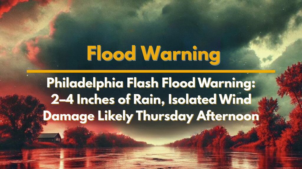
Philadelphia, PA – Thunderstorms are set to impact much of Pennsylvania, New Jersey, Delaware, and Maryland from Thursday afternoon through the overnight hours. Flash flooding is a growing concern, particularly in urban and low-lying areas, as heavy rain is expected to fall at rates exceeding 2 inches per hour. The National Weather Service in Mount Holly has issued a warning, with rainfall totals ranging from 2 to 4 inches, and localized areas potentially seeing more than 6 inches.
Areas Affected by Heavy Rain and Flood Risk
The highest flash flooding risk is located in the Moderate Risk area, which includes major cities such as Philadelphia, Wilmington, Trenton, Baltimore, and surrounding counties. Residents in these areas should be especially prepared for the possibility of flash floods due to the large amount of rain expected in a short period of time.
Impact on Travel and Safety
Drivers should avoid flood-prone roadways such as I-95, Route 1, and smaller urban streets, particularly during heavy downpours. Flash flooding is likely to occur in creeks, streams, and poor drainage zones, with metro areas facing the greatest risk. These conditions could lead to dangerous driving and road closures, especially in areas with a history of flooding.
Other Weather Hazards
In addition to flooding, localized wind damage could occur during the afternoon and early evening hours. However, flooding remains the primary concern for the region. This marks one of the most widespread flood risks of the summer for the Mid-Atlantic region. Emergency managers are urging residents to secure belongings, monitor local alerts, and avoid travel during the peak of the storm.
What to Expect
Warnings and advisories could be issued as the storm system evolves. Residents should stay alert for updates throughout the day on Thursday to ensure they remain informed about the latest weather conditions.


