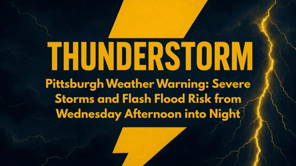
Pittsburgh, PA – Heavy rain and isolated severe thunderstorms could disrupt travel and threaten low-lying areas across western Pennsylvania on Wednesday, with the greatest risk coming from flash flooding.
According to the National Weather Service in Pittsburgh, several rounds of thunderstorms are expected to move into the region starting Tuesday afternoon and continuing through Wednesday night.
A few of these storms may become severe, bringing damaging wind gusts and heavy downpours. The entire area faces a Level 2 out of 4 risk for excessive rainfall.
Areas Affected and Travel Safety
Communities across Allegheny, Butler, Washington, and Westmoreland counties could experience ponding on roads, overwhelmed storm drains, and possible creek flooding. Local emergency managers are urging residents to avoid flood-prone routes and prepare for rapidly changing weather conditions. PennDOT may issue travel advisories if flooding becomes widespread.
Drivers are strongly advised to never attempt to cross flooded roadways. If you live in an area prone to flash flooding, take action now by clearing gutters, charging devices, and reviewing your emergency plans. Isolated strong storms could also bring down trees and power lines, so be prepared for possible power outages.
Weather Outlook and Additional Warnings
The storms may persist through late Wednesday evening, and additional watches or warnings could be issued. Stay weather-aware and monitor alerts from NWS Pittsburgh for the latest updates.


