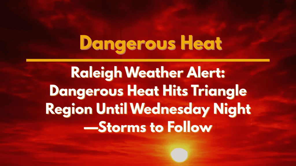
Get ready, Raleigh. The summer heat is turning extreme as central North Carolina faces one of the hottest days of the season on Wednesday, July 30th. A Heat Advisory is in effect until 8 PM, with the heat index expected to reach a sweltering 109°F, especially across the Triangle region, including Durham, Chapel Hill, Cary, and major highways like I-40 and US-1.
Here’s everything you need to know about the weather risks and how to stay safe during this high heat period.
🌡️ Heat Advisory: What It Means for You
The National Weather Service in Raleigh has issued a Heat Advisory starting 10 AM through 8 PM on Wednesday, July 30th. The heat index, which combines temperature and humidity, could feel as hot as 109°F during the afternoon.
That kind of heat can quickly lead to heat exhaustion or heat stroke, especially if you’re spending time outdoors, working in direct sunlight, or not drinking enough fluids.
Precautions to follow:
Stay indoors as much as possible
Drink water regularly—even if you’re not thirsty
Avoid strenuous outdoor work between 12 PM and 6 PM
Check on elderly neighbours, children, and pets
Never leave anyone in a parked car
🚗 Local Travel and Community Impacts
High temperatures and humidity will affect traffic flow and public services in Raleigh and nearby cities. Roads like I-40 and US-1 may see increased traffic delays as more people try to travel early or seek indoor shelter.
Schools, daycares, and outdoor work crews are being advised to reschedule activities to early mornings or late evenings. City officials may open cooling centers if demand increases or if power outages are reported.
Heat waves in recent years have led to scattered outages and more ER visits, so residents are urged to have a backup power plan, especially if they rely on fans or AC units.
⛈️ Storm Chances Rise After Wednesday
While Wednesday is the hottest day, the rest of the week won’t be much cooler. Humidity remains high, but there’s a chance for scattered thunderstorms starting Thursday. These storms may bring some temporary relief, but also a risk for heavy rain and lightning by Friday.
The weekend looks better with cooler temperatures and less humidity by Saturday and Sunday, giving the region a well-deserved break from the heat.
🌤️ Five-Day Raleigh Forecast
| Day | Weather | High Temperature | Additional Information |
|---|---|---|---|
| Wednesday, July 30 | Mostly sunny and dangerously hot | 96°F | Heat Index: 109°F, 20% chance of late storms |
| Thursday, July 31 | Partly sunny with a slight chance of storms | 93°F | Humid conditions |
| Friday, August 1 | Scattered thunderstorms likely | 87°F | Risk of heavy rain |
| Saturday, August 2 | Partly cloudy, early showers possible | 84°F | – |
| Sunday, August 3 | Sunny and noticeably less humid | 83°F | – |
| Monday, August 4 | Mostly sunny and a bit warmer | 85°F | – |
📝 Final Thoughts
The Triangle region of North Carolina is facing dangerous heat on Wednesday, with health risks for anyone exposed too long to the hot sun. Keep an eye on weather alerts, stay hydrated, and avoid unnecessary travel during the hottest parts of the day. Relief is on the horizon with storm chances returning Thursday, and cooler, more comfortable weather expected by the weekend.


