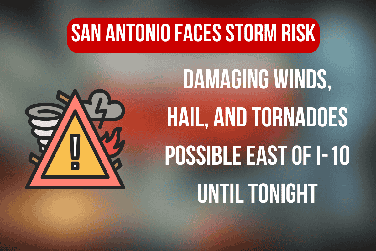
San Antonio, Texas – Strong to severe storms are expected to hit Central Texas this afternoon and evening, with the highest risk centered along I-10 east of San Antonio. This includes cities like Seguin, New Braunfels, and Gonzales, where residents should be prepared for dangerous weather conditions.
Storm Risk and Expected Hazards
The National Weather Service in Austin-San Antonio has issued a Level 2 out of 5 risk, meaning there is a moderate chance for severe weather, which could begin as early as mid-afternoon. The main threats include damaging wind gusts, large hail, isolated tornadoes, and heavy rain that may cause flash flooding.
Cities Most at Risk
The most intense storm activity is expected to affect cities like San Marcos, Luling, and La Grange. Areas along I-10 and Highway 90 should be prepared for sudden heavy rain and the possibility of road closures. With storms continuing from yesterday, the already-saturated ground may worsen flash flooding concerns.
Safety Precautions
Residents are urged to reconsider any outdoor plans, keep mobile devices charged, and enable weather alerts for real-time updates. If tornado warnings are issued, it is important to take shelter immediately in a sturdy building away from windows.
Storm Timing and Updates
Storms are expected to taper off late tonight, but the National Weather Service will continue to monitor the situation. Additional alerts may be issued as conditions change throughout the evening.


