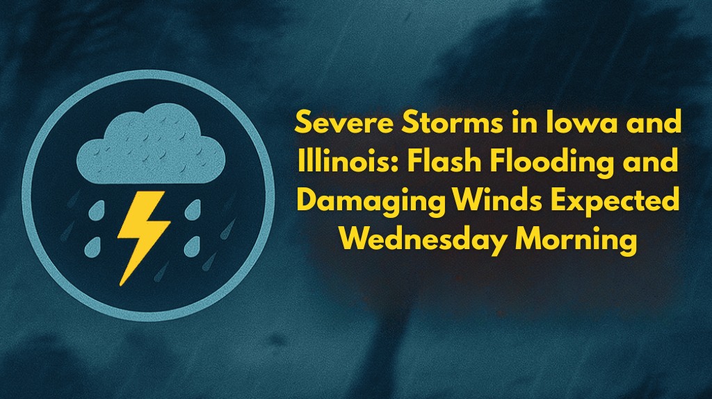
Severe storms are expected to impact eastern Iowa and northwestern Illinois early Wednesday morning, bringing a significant risk of flash flooding, damaging winds, and frequent lightning. The storm will particularly affect areas along the Mississippi River, including Davenport, Bettendorf, Moline, and Rock Island.
Timing and Risks of the Storm
According to the National Weather Service in the Quad Cities, the most dangerous period will begin between 5 a.m. and 7 a.m. on Wednesday, with storms possibly starting as early as 2 a.m. to 4 a.m. west of the Mississippi River. These storms will bring torrential downpours that could lead to flash flooding, especially in low-lying and poorly drained areas.
The storms will also bring strong winds that could cause downed trees and power lines, disrupting travel and potentially causing power outages across the region.
Areas Most Affected
Communities along the Mississippi River, including Davenport, Bettendorf, Moline, and Rock Island, should prepare for rapidly rising waters on roadways, potentially leading to delays or road closures. Flooded roads will pose a significant danger, and travelers should avoid driving in areas with standing water.
How to Prepare
Residents and commuters are urged to take the following steps:
Charge devices and ensure that you have multiple ways to receive emergency alerts, as the storms may occur while many are still asleep.
Avoid flooded roads and be prepared for possible road closures or delays.
Stay tuned to local weather alerts for any updates or advisories, particularly if you need to travel early in the morning.
Secure outdoor items that could be blown away by strong winds.
Storm Duration and Future Updates
These storms are expected to last through Wednesday, with the possibility of new advisories being issued if conditions worsen. Stay alert and continue to follow local weather updates as the situation develops.


