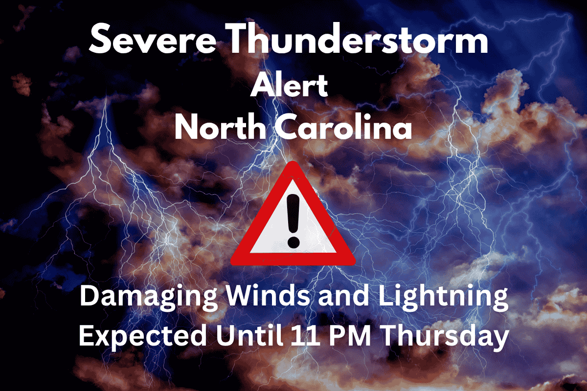
A severe weather alert has been issued for several areas in North Carolina as powerful thunderstorms bring dangerous winds and lightning this evening. The National Weather Service has placed a watch on the region until 11 p.m.
Thursday, with a specific threat to Raleigh, Greenville, and other cities across eastern and north-central North Carolina. Residents are being warned about the risk of power outages, hazardous travel, and extreme weather conditions.
Affected Areas and Weather Conditions
This severe thunderstorm watch includes a large part of North Carolina, stretching from Siler City to Kill Devil Hills. Cities such as Raleigh, Tarboro, Henderson, and Greenville are all at risk of facing dangerous weather tonight. The storms are expected to bring isolated hail that could be up to the size of a quarter, frequent lightning, and wind gusts that may reach up to 65 miles per hour.
With over 2.5 million people under the watch, including 577 schools and 40 hospitals, the threat is significant. The National Weather Service has warned residents about possible power outages, especially in rural and coastal areas, as well as the risk of dangerous driving conditions along major highways like Interstate 95 and U.S. 64.
Travel and Safety Precautions
Drivers on major routes like Interstate 95 and U.S. 64 should be prepared for heavy rainfall and limited visibility. Local emergency management officials have urged residents to stay indoors if possible, avoid unnecessary outdoor activities, and secure any loose objects that could be blown around by strong winds.
If you are on the road, it’s important to exercise extra caution, as sudden downpours and gusty winds could make driving very dangerous.
Power companies are already bracing for outages and delays in rural and coastal counties, as these areas are most vulnerable to the severe weather. The local authorities are on high alert, monitoring the situation and preparing for possible emergency responses.
Timing and Future Outlook
The severe weather is expected to continue throughout the evening, with the threat gradually decreasing after 11 p.m. However, meteorologists warn that additional advisories may be issued if conditions worsen or persist longer than anticipated.
The storm marks one of the first major weather events for North Carolina this June after a relatively calm spring season.
If you’re in the affected areas, it’s important to stay updated with the latest weather information. Be prepared to take action if conditions worsen, and stay safe by following official safety advice.
As thunderstorms sweep through North Carolina tonight, residents must stay alert to changing conditions. The severe weather watch is a reminder to always be prepared for sudden weather shifts, especially in the summer months when thunderstorms are common. Keep an eye on local alerts and take precautions to ensure your safety.


