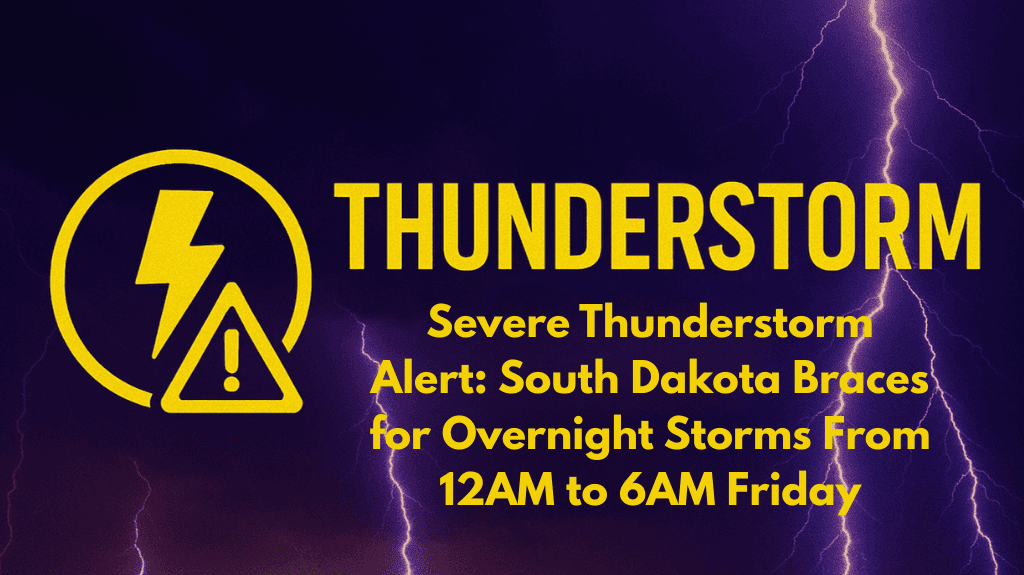
South Dakota residents, especially in eastern and central areas, should brace for a rough night ahead. The National Weather Service has issued a Severe Thunderstorm Alert for the early hours of Friday, warning of strong winds, large hail, and heavy rain. The danger period begins at midnight and continues until 6 a.m., with towns like Wessington Springs, Brookings, and Madison most at risk.
What to Expect From Tonight’s Storms
People living across South Dakota should be prepared for rapidly changing weather conditions overnight. While it may seem calm in the evening, storms could pick up suddenly after midnight.
Here’s what weather experts are predicting:
Damaging winds of up to 65 mph
Hail the size of quarters (about 1 inch in diameter)
Heavy downpours leading to possible brief flooding, especially in low-lying areas and rural roads
The storm threat is rated as a Slight Risk (Level 2 of 5), which means scattered severe storms are likely. Even if it doesn’t storm in your area, nearby communities could still face strong weather.
Areas to Watch Closely
If you’re living in or near the following towns, stay alert:
Wessington Springs
Brookings
Madison
Sioux Falls
Towns along Interstate 29 and 90
These areas are directly in the storm’s predicted path.
Safety Tips for Tonight
Since the most dangerous weather is expected while people are sleeping, taking action before bedtime is crucial. Here are some important safety tips:
Charge your phones and keep them close by for emergency alerts
Download a reliable weather app with loud alerts
Keep a NOAA weather radio nearby with fresh batteries
If you’re camping or outdoors, move to a solid shelter
Avoid parking under trees or power lines
Stay off roads if possible between midnight and sunrise
Those driving late at night should be especially careful. Sudden wind gusts and poor visibility from heavy rain could make highways slippery and dangerous.
When Will It End?
The severe weather is expected to ease by sunrise on Friday, but that doesn’t mean the risk is fully gone. Forecasters say more updates may follow, especially if another round of storms forms during the day. So, stay informed even after the morning hours.
Final Thoughts
South Dakota is no stranger to summer storms, but late-night systems like this can be particularly dangerous. With most people asleep during the peak storm hours, it’s important to stay ready and informed. Make your safety plans now, and help others around you do the same — especially those without easy access to alerts or shelter.


