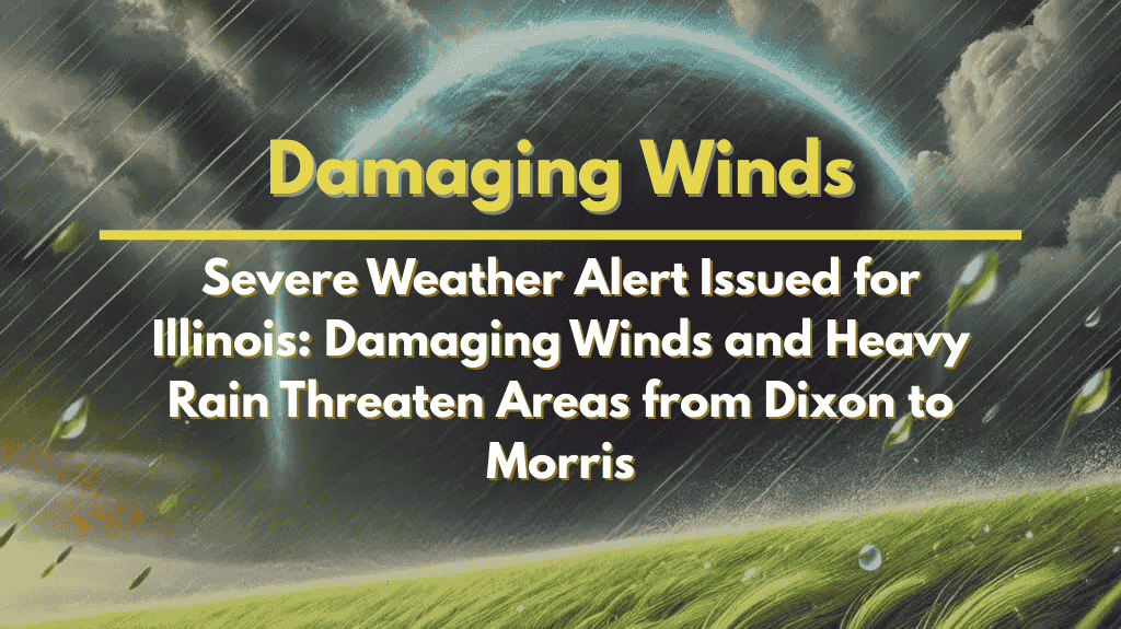
Chicago, Illinois – A fast-moving line of strong to severe thunderstorms is moving into northwest Illinois this evening, bringing the threat of damaging winds, lightning, and heavy rainfall.
The most dangerous storms are expected to affect areas southwest of a Dixon-to-Morris line, with winds strong enough to cause downed trees and power lines. The National Weather Service in Chicago has issued the warning, urging residents to prepare for significant weather hazards.
Affected Areas
The storms will track east-southeast through the evening, with the heaviest impacts expected across the following areas:
Primary Threat Zone: Southwest of the Dixon-to-Morris line.
Areas Affected Later: As the storms move east, regions including Rockford and parts of the Chicago metro area will experience severe weather by 9 p.m.
Weather Threats
The line of thunderstorms is expected to produce the following:
Damaging Winds: Gusts strong enough to down trees, power lines, and cause property damage.
Heavy Rain: Intense downpours that may lead to localized flooding and poor visibility.
Frequent Lightning: An increased risk of lightning strikes, which could cause fires or power outages.
Travel Disruptions
Motorists should be aware of potentially hazardous driving conditions, especially on major highways:
Interstate 39, Interstate 80: Drivers should expect reduced visibility and the possibility of road debris due to fallen trees or other obstacles.
Flooded Roadways: Avoid traveling on flooded roads, as conditions may worsen quickly.
Safety Recommendations
Residents in affected areas should follow these safety precautions:
Secure Outdoor Items: High winds may cause unsecured items to become dangerous projectiles.
Move Indoors: Seek shelter as soon as thunderstorms begin, and stay inside until the storm passes.
Avoid Flooded Areas: Do not attempt to drive through flooded streets; remember, turn around, don’t drown.
Outlook and Future Weather
While the current line of storms should move out of the region later tonight, additional unsettled weather is expected through the weekend. Depending on how conditions evolve, additional watches or warnings may be issued.


