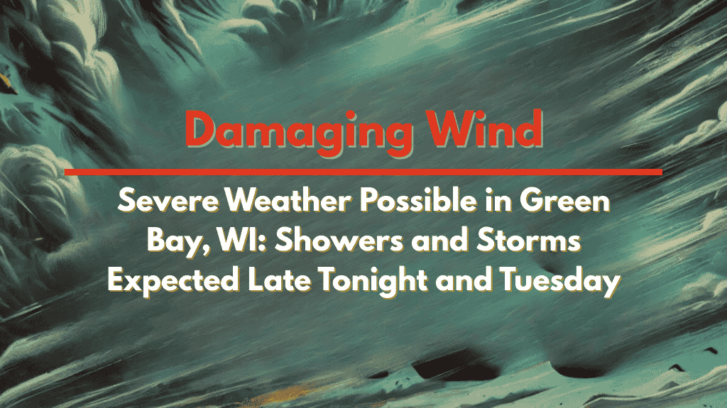
Green Bay, Wis. – East-central Wisconsin is bracing for a round of scattered showers and storms late tonight into Tuesday, with the strongest activity expected during Tuesday afternoon. Damaging winds and large hail are possible in some storms, especially between 2 and 7 p.m. as a cold front moves through the area.
Tonight: Cloudy with a Chance of Late Showers or Storms
Tonight, cloud cover will increase, with temperatures dipping between 59°F and 69°F. There is a slight chance of late showers or storms developing in east-central Wisconsin, though the more significant storm activity is expected tomorrow. As conditions evolve overnight, residents in these areas should remain aware of the potential for worsening weather.
Tuesday: Afternoon Storms with a Risk of Severe Weather
Tuesday morning will likely see showers and storms in east-central Wisconsin, but the most intense weather is expected later in the day. The best chance for strong, isolated storms will be between 2 and 7 p.m., particularly in east-central to far northeast Wisconsin. These storms could produce damaging winds and large hail, depending on how much the skies clear in the morning. Areas that warm up quickly are more likely to experience heavier storm development.
Drivers should prepare for wet roads and reduced visibility, especially on Highways 41 and 29. Given the potential for rapid storm development, residents are urged to secure outdoor items and monitor weather alerts.
Wednesday: Drier, Cooler Conditions and Hazy Skies
By Wednesday, the region will see much drier and less humid conditions. While the weather will be more comfortable, some lingering haze from Canadian wildfire smoke could impact visibility. Temperatures will range from 73°F to 82°F, making for a pleasant summer day under mostly clear skies.
Thursday and Beyond: Comfortable Weather Continues
The trend of dry and comfortable weather will continue through Thursday. Expect partly cloudy skies with highs ranging between 75°F and 83°F.
Friday: Mostly sunny with highs near 80°F and light winds.
Important Weather Tips
For Tuesday: Be prepared for potentially severe storms, especially between 2 p.m. and 7 p.m. Secure outdoor items and keep an eye on alerts.
For Wednesday: Expect drier conditions, though smoke haze may reduce visibility in some areas.
General: Remember to take safety precautions when driving in stormy weather and keep an eye on changing conditions throughout the day.
Stay safe and be prepared for changing weather conditions!


