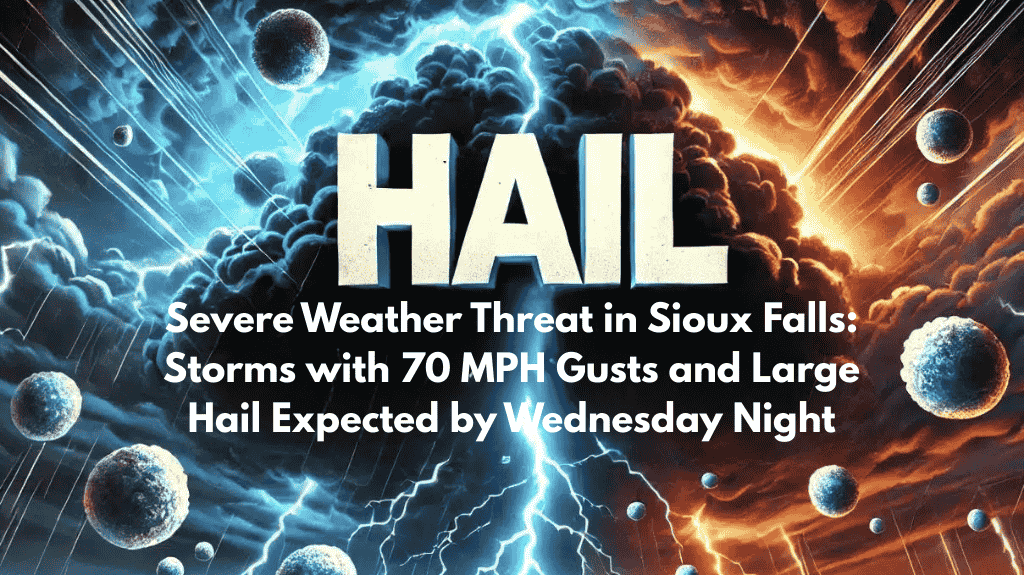
Sioux Falls, S.D. – Sioux Falls and surrounding areas in south-central South Dakota are preparing for a round of severe weather on Wednesday evening, with the National Weather Service raising the risk of thunderstorms to Level 2 out of 5. These storms are likely to develop late Wednesday afternoon and move eastward throughout the night, bringing dangerous conditions, including damaging winds, large hail, and heavy rain.
Severe Weather Risk: Winds, Hail, and Rain
Forecasters predict that the storms will intensify as they move eastward, with wind gusts reaching up to 70 mph. In addition to these strong winds, hail as large as half dollars may fall, causing potential damage to property and vehicles. Periods of heavy rain are also expected to lead to localized flooding in some areas.
Areas Most at Risk
The highest risk for severe weather will be in the areas around Chamberlain, Winner, and Mitchell. While tornadoes are unlikely, straight-line winds are a major concern and could cause trees to fall, as well as power lines to come down. These hazards may disrupt travel and lead to power outages, especially in rural areas.
Safety Tips for Residents
Motorists are advised to avoid driving during the peak of the storms, particularly in the evening when conditions are most dangerous. Residents are also urged to secure outdoor items that could be damaged by strong winds, ensure that devices are fully charged, and monitor multiple weather alert sources for updates.
If you are outside during a warning, seek sturdy shelter immediately.
Conditions Will Improve by Thursday Morning
While the severe weather threat will diminish overnight, lingering showers are expected to continue into Thursday morning. Additional weather watches or warnings may be issued if conditions worsen as the night progresses.


