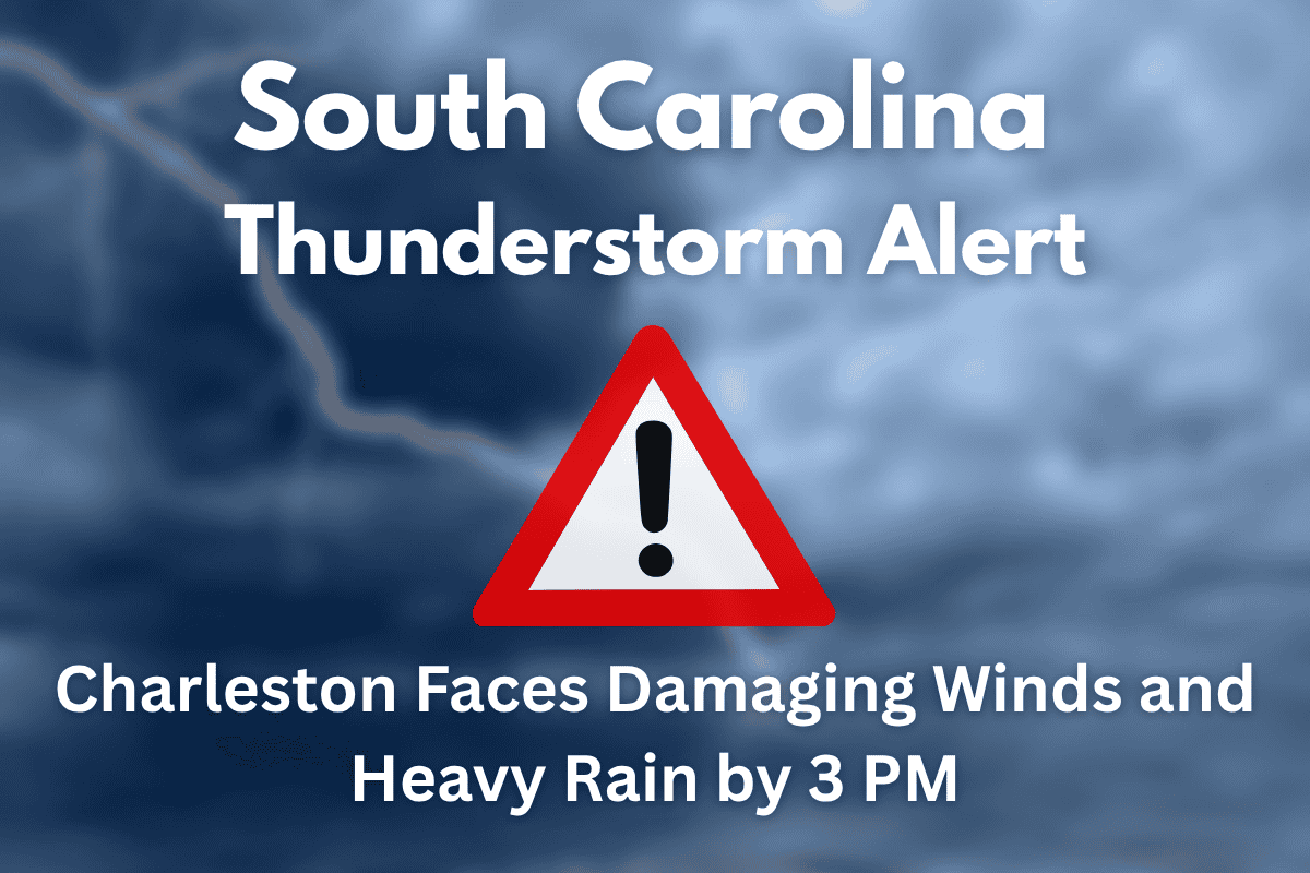
Strong to severe thunderstorms are expected to hit coastal South Carolina and parts of southeast Georgia this afternoon, starting as early as 3 p.m. The National Weather Service in Charleston has issued an alert for damaging winds, heavy rainfall, and the possibility of cloud-to-ground lightning.
These storms could affect travel, cause power outages, and create hazardous conditions in areas including Charleston, Summerville, and Moncks Corner, as well as parts of Georgia.
Severe Thunderstorm Threat
According to the National Weather Service, a sea breeze moving inland after a hot, humid day will trigger the storms, which will affect areas along and north of the I-16 corridor, including Charleston, Moncks Corner, and Summerville, extending into Georgia towards Statesboro and Sylvania.
The most significant threat will occur between 3 p.m. and 9 p.m., with storms capable of producing straight-line winds and heavy rain. Residents should be prepared for rapid changes in conditions.
Storm Impact and Hazards
The primary risks include damaging wind gusts that could down trees and power lines, localized flooding due to heavy rainfall, and cloud-to-ground lightning. These conditions could create dangerous travel and power disruptions in the affected areas.
Residents are advised to stay indoors during the storm and avoid travel, especially if there are reports of flooding or downed power lines. Property owners should secure any loose outdoor items to prevent them from becoming projectiles in the strong winds.
Safety Tips and Recommendations
Given the forecast, it’s important for residents to stay informed throughout the day. Make sure to have multiple ways to receive weather warnings, such as through weather apps or local news. Stay away from windows and doors, and avoid outdoor activities when the storm is expected.
Drivers should avoid flooded roads, and if you see downed power lines, do not approach them and report them to local utility providers. If power outages occur, report them promptly to help expedite repairs.
As the thunderstorms approach Charleston and surrounding areas, the weather will rapidly change this afternoon. Damaging winds, heavy rain, and the potential for lightning pose significant risks.
Continue to monitor local weather reports for updates, and be prepared to act quickly if conditions worsen. The storms are expected to move out by 9 p.m., but stay aware of any new advisories or warnings throughout the evening.


