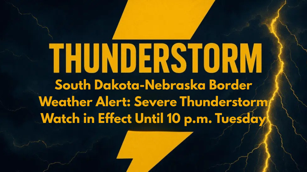
A Severe Thunderstorm Watch has been issued for the South Dakota-Nebraska border area, affecting several counties in both states. The watch remains in effect until 10 p.m. Tuesday and warns of potential threats such as damaging winds, large hail, and possible power outages.
Affected Areas and Timing of the Storm
The National Weather Service Storm Prediction Center has outlined the following counties under the Severe Thunderstorm Watch:
South Dakota: Aurora, Bon Homme, Brule, Charles Mix, Clay, Davison, Douglas, Gregory, Hanson, Hutchinson, McCook, Turner, and Yankton.
Nebraska: Boyd, Cedar, Holt, Keya Paha, Knox, and Rock counties.
Thunderstorms may develop quickly, with the highest risk of severe weather expected between 6 p.m. and 10 p.m. Major highways like U.S. 81 and U.S. 18 are likely to be affected.
What to Expect and How to Prepare
Residents in areas like Yankton, Vermillion, and O’Neill should brace for sudden downpours, gusty winds, and possible hail. With the threat of severe weather, outdoor plans should be postponed, and vehicles should be moved indoors when possible.
Local emergency managers advise:
Securing loose outdoor items.
Avoiding windows to prevent injury.
Charging phones and flashlights in case of power outages.
Tips for Drivers
Road conditions may worsen rapidly as the storm develops, so drivers should stay informed by monitoring local weather alerts. Be prepared for possible detours or road closures, particularly on highways affected by the storm.
The severe weather is expected to subside after 10 p.m., though there is still a possibility of further watches or warnings if storms continue into the night. Staying prepared and informed will help minimize the impact of the storm.


