Drivers and residents in Sioux Falls should prepare for a mix of fog, storms, and shifting temperatures as the weekend approaches. From dense fog on Friday morning to possible severe storms by Sunday, the weather will bring several challenges over the next few days.
Foggy Start to Friday Morning
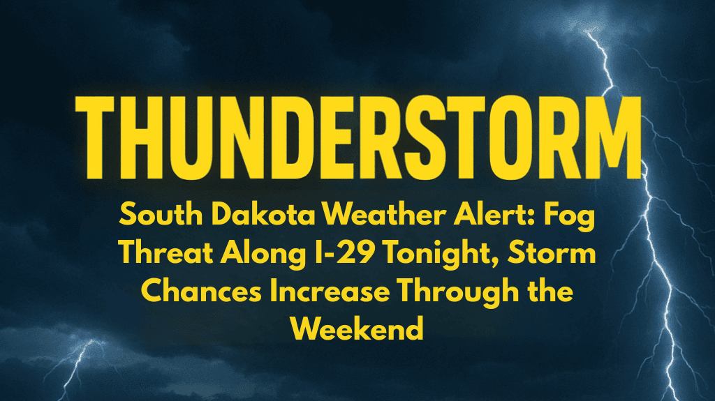
The National Weather Service in Sioux Falls has issued an advisory for patchy dense fog Friday morning. Visibility may drop suddenly in some spots, especially east of Interstate 29 and in low-lying or rural areas.
If you’re driving early:
Use your headlights, not high beams
Slow down and allow extra travel time
Watch for sudden changes in visibility
The fog should clear up by mid-morning, but early commuters should stay cautious until conditions improve.
Warm and Sunny Friday and Saturday
Despite the foggy start, Friday will be mostly sunny, with temperatures reaching up to 86°F. Saturday will follow with similar conditions and even warmer temperatures around 89°F. These days are ideal for outdoor activities — but be sure to keep an eye on the sky as storm chances start increasing by Saturday night.
Storms Possible Over the Weekend
The real weather concern begins Saturday evening into Sunday. Scattered thunderstorms are expected across the region, with a 30% to 50% chance of showers and storms. A stronger system is forecast to arrive Sunday afternoon, possibly bringing:
Heavy rain
Gusty winds
Isolated severe storms (mainly west of I-29)
While not all areas will see severe weather, outdoor plans and events might be disrupted, especially late Sunday and into the night. Stay weather-aware and avoid unnecessary driving during active storms.
Cooler, Fall-Like Weather Early Next Week
By Monday, the storm system moves out, leaving behind mostly clear skies and cooler air. Highs will drop to around 80°F on Monday and 79°F by Tuesday, with even lower humidity. It will start to feel more like early fall in eastern South Dakota.
However, Tuesday could bring another round of rain, with storm chances around 50%. Make sure to check forecasts if you have plans outdoors or on the road.
Hazards Still Possible Next Week
Hazardous weather alerts could be issued early next week if Tuesday’s storms grow stronger. Residents should:
Keep mobile alerts turned on
Charge phones and backup batteries
Prepare for quick changes in weather conditions
Five-Day Forecast for Sioux Falls, SD
| Day | High Temp | Low Temp | Weather Conditions |
|---|---|---|---|
| Friday | 86°F | 68°F | Mostly sunny, fog early |
| Saturday | 89°F | 68°F | Mostly sunny, chance of evening storms |
| Sunday | 84°F | 63°F | Scattered storms, heavy rain possible |
| Monday | 80°F | 65°F | Mostly clear and dry |
| Tuesday | 79°F | 60°F | 50% chance of storms, cooler |
Sioux Falls faces a mix of weather conditions over the next few days. From Friday morning’s dense fog to Sunday’s possible severe storms, and then cooler air next week, it’s a time to stay alert. Make sure your plans are flexible and that you’re ready for changing conditions, especially if you’re driving or planning outdoor events. By mid-next week, more comfortable and fall-like weather should settle in.


