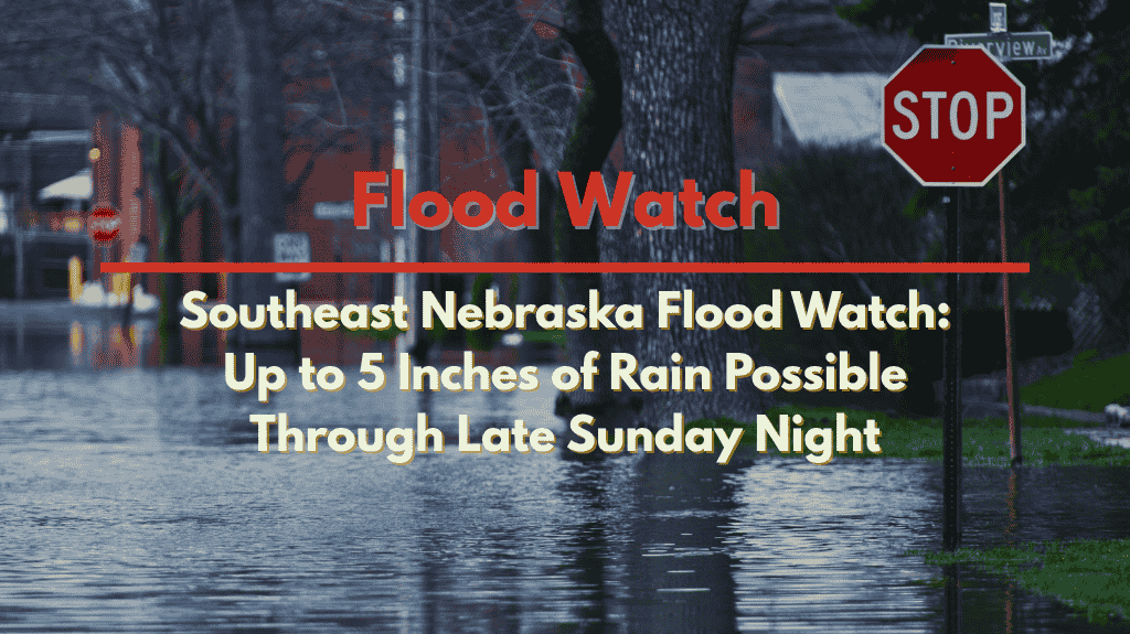
Lincoln, Neb. – Southeast Nebraska and southwest Iowa are facing an ongoing flood threat as heavy rain continues through Sunday, with some areas potentially receiving up to 5 inches of rain before the system moves out. The National Weather Service (NWS) has issued a Flood Watch for several counties in the region, urging residents to remain vigilant.
According to the NWS Omaha/Valley, the Flood Watch is in effect until 10 a.m. Sunday for Lancaster, Cass, Otoe, Saline, Jefferson, Gage, Johnson, and parts of southwest Iowa. Further south, Nemaha, Pawnee, and Richardson counties will remain under the watch until late Sunday night. The heavy rainfall and repeated rounds of storms have led to high rainfall rates, which could push rivers and creeks beyond their banks.
Cities such as Lincoln, Nebraska City, Beatrice, Auburn, and Falls City should prepare for standing water on roads, particularly in rural and low-lying areas. Drivers are strongly advised to avoid crossing flooded roadways, as just a few inches of moving water can quickly sweep vehicles away.
With additional heavy rain expected late Sunday, officials warn that the flooding threat may intensify. Residents are urged to stay alert for possible Flash Flood Warnings and be prepared to move to higher ground if necessary. Flooding could impact local roads, streams, and low-lying areas, making it critical for everyone to monitor conditions closely and take appropriate precautions.


