Jackson, Kentucky – Showers and thunderstorms are set to move into Kentucky starting Monday afternoon, with the potential for downpours and localized flooding in southeastern counties. According to the National Weather Service in Jackson, the storm risk will begin in southwestern Kentucky late Monday, shifting to southeastern regions through Monday night and into Tuesday.
🌧️ What to Expect: Heavy Rain and Flooding Risk
While rainfall totals are expected to remain below one inch, forecasters warn that training storms—where multiple rounds of storms pass over the same area—could lead to higher rainfall totals in places like Harlan, Bell, and Pike counties. These areas may experience localized flooding, especially in low-lying areas and small streams, which could rise quickly.
Southeastern Kentucky residents should remain vigilant for water ponding on roads, which could make travel dangerous, especially on flood-prone roads. Emergency managers recommend avoiding travel in areas prone to flooding and staying alert for potential hazards.
🚗 Travel Safety and Preparedness
Avoid travel on flood-prone roads if possible.
Secure outdoor items to prevent them from being blown away or damaged in strong winds.
Keep cell phones charged and have a way to receive weather alerts in case conditions change rapidly.
Stay aware of water levels in small streams, as they could rise quickly with heavy rainfall.
🌤️ When Will the Storms End?
Storm chances are expected to decrease by Tuesday afternoon, with drier conditions returning after that. However, the risk of localized flooding and other storm-related hazards will persist through Tuesday noon. If conditions change, additional advisories may be issued.
🌡️ Five-Day Forecast for Jackson and Southeastern Kentucky
Monday, August 7:
Showers and thunderstorms likely by late afternoon
High: 82°F | Low: 65°F
Risk of localized flooding, especially in southeastern counties
Tuesday, August 8:
Storms likely in the morning, tapering off by early afternoon
High: 84°F | Low: 66°F
Remaining threat of ponding water and small stream flooding
Wednesday, August 9:
Partly cloudy, drier conditions
High: 85°F | Low: 68°F
Thursday, August 10:
Sunny with no storms expected
High: 87°F | Low: 70°F
Friday, August 11:
Mostly sunny and warm
High: 89°F | Low: 71°F
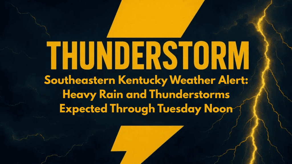
Southeastern Kentucky faces heavy rain and thunderstorms starting Monday afternoon and lasting through Tuesday noon. Localized flooding is possible, especially in Harlan, Bell, and Pike counties.
Stay prepared by monitoring weather updates, securing outdoor items, and avoiding travel on flood-prone roads. Keep a charged device to receive weather alerts and stay safe through the stormy conditions.


