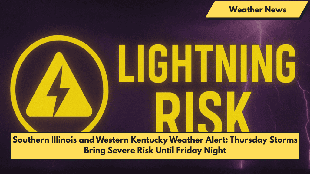
Paducah, Kentucky – Storms are set to return to western Kentucky and southern Illinois Thursday, with a strong chance of damaging winds, dangerous lightning, and heavy rainfall by early afternoon.
What to Expect on Thursday
According to the National Weather Service in Paducah, scattered thunderstorms are expected to develop between 1 p.m. and 4 p.m. Thursday across southeast Missouri and southern Illinois, with the greatest risk in areas near Paducah and along U.S. Route 60. A 70% chance of showers and storms is forecast, and while widespread severe weather is not guaranteed, isolated strong storms may bring wind gusts over 40 mph and frequent lightning.
- Flash flooding is possible, especially in low-lying areas.
- Wind and lightning will be the main threats, but brief downpours can make travel difficult.
Thursday Night and Friday: Continuing Storm Threat
The storm threat will continue Thursday night with additional rounds of rain and thunder, particularly near McCracken, Massac, and Ballard counties.
On Friday, thunderstorms are expected throughout the day, particularly between 10 a.m. and 6 p.m., with the potential for damaging winds and brief downpours. This could make travel hazardous, especially during the evening commute.
What You Should Do
- Secure outdoor items to prevent them from being blown around by strong winds.
- Charge your devices in case of power outages.
- Avoid driving through flooded roads, as flash flooding may occur in low-lying areas.
- Although no formal storm spotter activation is planned, the NWS encourages anyone witnessing significant weather to report conditions.
What’s Next: Weekend Forecast
- Saturday (June 7): Scattered afternoon storms with a high of 84°F. Winds will be calm early but will pick up in the afternoon.
- Sunday (June 8): A slight chance of storms with a high near 84°F. Expect partly cloudy skies and warm temperatures.
- Monday (June 9): Isolated showers with highs around 84°F, but the evening will bring drier conditions.
5-Day Weather Forecast for Paducah, KY
- Wednesday (June 4): Sunny, high 88°F, breezy southwest winds
- Thursday (June 5): Showers and storms likely, high 84°F, risk of severe weather between 1–4 p.m.
- Friday (June 6): Thunderstorms throughout the day, high 83°F, flash flood potential
- Saturday (June 7): Scattered afternoon storms, high 84°F, calm winds early, increasing by afternoon
- Sunday (June 8): Slight storm chance, high 84°F, partly cloudy and warm
- Monday (June 9): Isolated showers, high near 84°F, drier in the evening
Stay safe and stay updated with local weather alerts as the storms move in. Monitor radar and be prepared for rapidly changing conditions!


