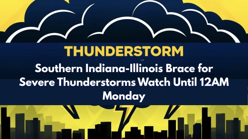
Chicago, IL – A Severe Thunderstorm Watch has been issued for parts of Illinois and Indiana, lasting until 12 a.m. CDT on Monday. Significant weather concerns are expected to develop over the next several hours, with potential severe thunderstorms, heavy rain, hail, and strong winds affecting the region.
Affected Areas:
Illinois Counties Under Watch: Christian, Clark, Clay, Crawford, Cumberland, Edwards, Effingham, Jasper, Lawrence, Richland, Shelby, and Wabash.
Indiana Counties Under Watch: Bartholomew, Brown, Clark, Crawford, Daviess, Dubois, Floyd, Gibson, Greene, Harrison, Jackson, Jefferson, Jennings, Knox, Lawrence, Martin, Monroe, Orange, Pike, Scott, Sullivan, and Washington.
Hazardous Conditions:
Severe Thunderstorms: Expect strong storms with the possibility of hail, gusty winds, and localized flooding.
Primary Threat – Winds: Damaging winds, especially across southwestern Indiana and southeastern Illinois, could cause damage to trees, power lines, and structures.
Travel Hazards: Roads could become hazardous due to heavy rain and reduced visibility.
Safety Tips:
Travel Caution: If possible, avoid non-essential travel, especially on rural roads or highways that may be impacted by heavy rain and debris.
Secure Outdoor Items: Bring in or secure any outdoor objects that could be blown around by strong winds.
Stay Indoors: Remain inside during severe weather to avoid exposure to dangerous conditions.
Stay Informed: Keep up with local weather updates, as additional warnings may be issued if conditions worsen.
The Severe Thunderstorm Watch remains in effect until 12 a.m. CDT. Stay alert, secure outdoor items, and be prepared to seek shelter as storms develop. Monitor local weather reports for real-time updates and be ready to take action if warnings are issued.


