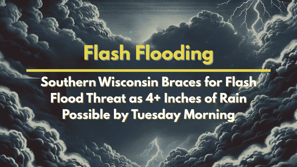
Southern Wisconsin is preparing for potentially dangerous weather over the weekend and into early next week, as several rounds of heavy rain are expected to move across the region. With already elevated river levels in many areas, the threat of flash flooding is real and growing. Residents are being advised to stay alert, especially from Friday night through Tuesday morning.
Heavy Rainfall Expected Across the Region
Starting late Friday, Southern Wisconsin is likely to experience repeated storm systems that could bring intense downpours. According to the National Weather Service in Milwaukee, rainfall rates may reach up to 1–2 inches per hour, which could quickly lead to localized flooding.
Forecast models show some uncertainty about where the heaviest rainfall will fall, but areas from Madison to Kenosha are currently most at risk. These regions have already seen recent rain, so the ground and rivers are less able to absorb more water.
How Much Rain Is Coming?
While exact totals will vary, the potential is significant:
Over 3 inches of rain could fall in some places
Tomah and Fond du Lac have a 70–80% chance of receiving at least 1 inch
Areas farther south may see less total rain, but a higher risk of flash flooding if storms move slowly or stall
Some models suggest that the worst rain could stay north of Milwaukee, but others show storms drifting south and hitting southern counties directly late Friday and into Saturday.
Flood Threat and Travel Concerns
With such intense and prolonged rainfall, there is a high risk of:
Rivers rising above flood stage
Roads flooding, especially in low-lying areas
Drains and sewer systems being overwhelmed
Disrupted or dangerous travel conditions, especially at night
Emergency services may struggle to respond quickly if multiple areas are affected at once, so it’s crucial for residents to prepare ahead of time.
Who’s Most at Risk?
The greatest flood threat lies in:
Low-lying neighborhoods
Areas close to rivers and creeks
Locations that already experienced recent rain or minor flooding
People living in these areas should assemble emergency kits, charge devices, and have a plan in case they need to leave quickly.
Ongoing Rain Chances Through Monday
The stormy pattern isn’t expected to end quickly. Showers and thunderstorms are forecast to continue off and on through Monday night, meaning the ground will likely stay saturated and rivers may stay high or even rise further. This could lead to extended flash flood watches or new advisories if the situation worsens.
Authorities and meteorologists will continue to monitor the conditions closely and provide updates as new information becomes available.
Stay Safe and Informed
Here are a few safety tips to follow:
Never try to drive through flooded roads — just 6 inches of water can cause loss of control
Keep an emergency kit ready with essentials like water, snacks, batteries, and medications
Follow local news and weather alerts for the latest updates
Consider moving valuables to higher places if you live in a flood-prone area
This storm system could bring serious hazards, especially if the heaviest rain hits already vulnerable areas. Taking precautions now can help avoid bigger problems later.


