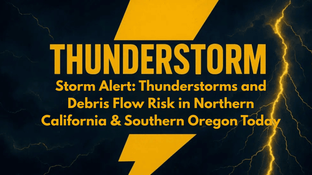
Residents across northern California and southern Oregon should prepare for unstable weather today as isolated thunderstorms move through the region. From Medford to Lakeview and across Siskiyou, Klamath, and Lake counties, conditions may shift rapidly, bringing gusty winds, lightning, hail, and even debris flows near wildfire burn scars.
Thunderstorm Activity Likely Through Saturday Evening
According to the National Weather Service in Medford, thunderstorms are expected to develop in the afternoon and continue into late Saturday evening. Areas east of the Cascades will see the most activity, with the possibility of strong wind bursts between 40–60 mph, intense rain, and cloud-to-ground lightning.
These storms can form quickly and pack a punch, especially in higher terrain and open valleys. The potential for hail and flash flooding is highest in areas that have burned recently, where vegetation loss makes the ground unable to absorb sudden downpours.
Wildfire Burn Scars Increase Debris Flow Threat
A major concern today is debris flows near recent wildfire zones. With heavy rain hitting loose soil and ash-covered land, mudslides and fast-moving water may rush across highways and backroads.
Areas along US-97 and OR-140 are particularly at risk. If you’re traveling in these regions, check road conditions before heading out, and be prepared to turn back if water crosses the road.
Emergency crews are monitoring areas with known burn scars and may close roads or trails at short notice if safety becomes an issue.
Lightning & Power Outage Risk
Today’s thunderstorms may also bring frequent cloud-to-ground lightning, which not only poses a direct threat to people outdoors but can also ignite new wildfires or cause power outages. Lightning is one of the top causes of fire starts in dry landscapes, and with dry fuels still present, fire danger remains high.
Avoid exposed areas like mountain ridges, lakes, and open fields during storm activity. If thunder is heard, take shelter immediately in a solid structure and remain inside for at least 30 minutes after the last thunderclap.
Safety Tips for Today’s Storm Conditions
Residents and visitors are advised to reconsider outdoor plans, especially hiking, biking, or camping in remote areas. Secure loose items, avoid peak trails or exposed landscapes, and stay close to weather alerts. If you must be on the road, travel with caution and watch for flooded or debris-covered stretches.


