Tampa is facing a tough weather week, with dangerous heat and thunderstorms expected from Wednesday, July 30th. If you’re living in or around the area, it’s important to be prepared. From high temperatures to stormy afternoons, here’s a simple breakdown of what to expect and how you can stay safe.
🔥 Extreme Heat with High Humidity
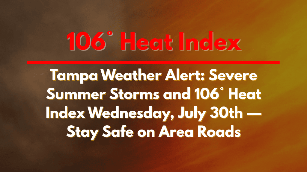
On Wednesday, Tampa’s temperature is expected to hit 95°F, but it will feel like a scorching 106°F due to humidity levels around 82%. The National Weather Service has issued a Weather Alert for Tampa and Hillsborough County. This means the heat can seriously affect health, especially for children, older adults, and those working outside.
Make sure to drink lots of water, avoid staying in the sun for too long, and take regular breaks if you’re outdoors. Don’t forget to check on neighbours who may need help staying cool, especially those without air conditioning.
🌩️ Thunderstorms After 2 PM
Starting after 2 p.m. on Wednesday, isolated to scattered thunderstorms are expected to roll through the area. These storms may bring heavy rain, strong winds, and dangerous lightning, especially during the evening rush hour. If you’re planning to travel or commute, stay alert and check for weather updates.
Key roads like I-275 and areas in downtown Tampa could become slippery and flooded. Visibility may be poor during heavy showers, so it’s safer to drive slowly or delay non-urgent trips if possible.
🚧 Impact on Travel and Daily Life
Storms will likely disrupt outdoor plans. Sports events, evening walks, and other activities might need to be postponed or moved indoors. Power outages could also occur due to lightning strikes or falling tree limbs.
Commuters should watch for delays and avoid driving through water-covered streets. Even a few inches of water can stall a car or hide road damage.
🌧️ Extended Outlook: More Storms Ahead
This stormy pattern won’t stop after Wednesday. The five-day weather forecast shows afternoon storms continuing daily into the weekend and early next week. Although temperatures will remain in the mid-90s, the combination of heat and humidity will keep things feeling hot and sticky, even during the evenings.
Here’s a quick look at the forecast:
☀️ Five-Day Forecast: Tampa (July 30 – August 4)
| Day | Weather | High Temperature | Additional Information |
|---|---|---|---|
| Wednesday, July 30 | Storms likely after 2 p.m. | 95°F | Heat Index: 106°F |
| Thursday, July 31 | 30% chance of afternoon thunderstorms | 96°F | Mostly cloudy at night |
| Friday, August 1 | 40% chance of afternoon thunderstorms | 96°F | Showers likely at night |
| Saturday, August 2 | Higher chance of storms, mainly in the evening | 94°F | – |
| Sunday, August 3 | Continued thunderstorms | 93°F | – |
| Monday, August 4 | Thunderstorms likely | 95°F | – |
This week, Tampa is dealing with a mix of extreme summer heat and stormy weather. While it’s typical for Florida to have afternoon showers during this season, the heat index reaching 106°F and the risk of sudden storms make it important for everyone to stay informed. Keep checking the weather reports, take precautions to stay cool and safe, and avoid risky travel during peak storm hours. With some planning, you can manage your day while avoiding the worst of the weather.


