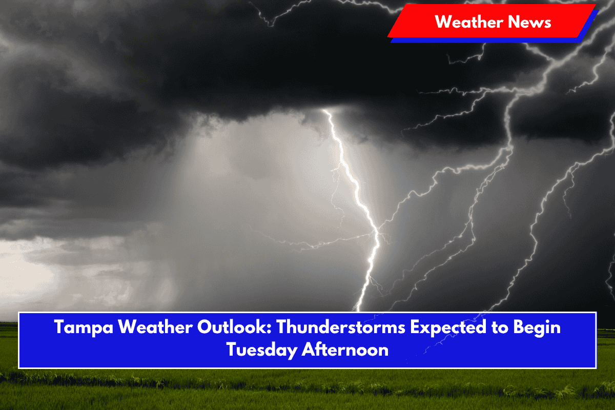
Tampa residents should prepare for an unsettled stretch of weather starting Tuesday, June 10, as scattered thunderstorms are forecasted to roll in by the afternoon. According to the National Weather Service (NWS), this marks the beginning of several days of wet weather in the area, which may bring some travel disruptions and heavy downpours.
Tuesday Afternoon Storms May Impact Travel
Storm chances increase after 2 p.m. Tuesday, with scattered thunderstorms expected through the evening. Tampa’s heat index may reach as high as 94°F before storms arrive, bringing some relief from the heat. Rain chances rise to 40% in the afternoon and 30% during the night. The most affected areas are likely to be along major roads like I-275 and I-4, especially during the evening commute.
Residents should stay alert for the possibility of localized flooding in low-lying areas. The NWS recommends checking traffic updates and avoiding non-essential travel during heavier downpours. Winds will be mild, shifting southwest at 5 to 7 mph before becoming calm overnight.
Wednesday: Higher Storm Threat
Rain and thunderstorm chances increase significantly on Wednesday, June 11. The chance of precipitation goes up to 60%, with the greatest risk between 2 p.m. and 8 p.m. These storms could bring intense rain bursts and may affect outdoor activities. It’s best to have an umbrella handy and to monitor the weather closely if you have outdoor plans.
Thursday: Continued Rainy Conditions
Tampa’s wet pattern continues on Thursday, June 12, with more scattered showers and thunderstorms likely throughout the day and into the evening. Temperatures will stay warm, but cloud cover and rain may make conditions feel less intense than earlier in the week.
Friday: Some Improvement Ahead
By Friday, June 13, Tampa’s weather will begin to improve. Partly sunny skies are expected, with only a 30% chance of isolated thunderstorms. It’s not a completely dry day, but a welcome break from the more widespread rain earlier in the week.
🌤 Five-Day Forecast for Tampa (June 9–14):
- Monday: High 92°F, isolated thunderstorms. Low 78°F
- Tuesday: High 93°F, scattered storms after 2 p.m. Low 77°F
- Wednesday: High 93°F, showers and storms likely afternoon to night. Low 76°F
- Thursday: High 92°F, more scattered storms expected. Low 76°F
- Friday: High 93°F, partly sunny with isolated storms. Low 77°F
Tampa will experience a stormy start to the week with chances of thunderstorms increasing from Tuesday through Thursday. While the rain may ease slightly by Friday, residents should be prepared for localized flooding and storm-related delays, especially in the afternoons. Staying weather-aware and planning ahead will be key during this unsettled period.


