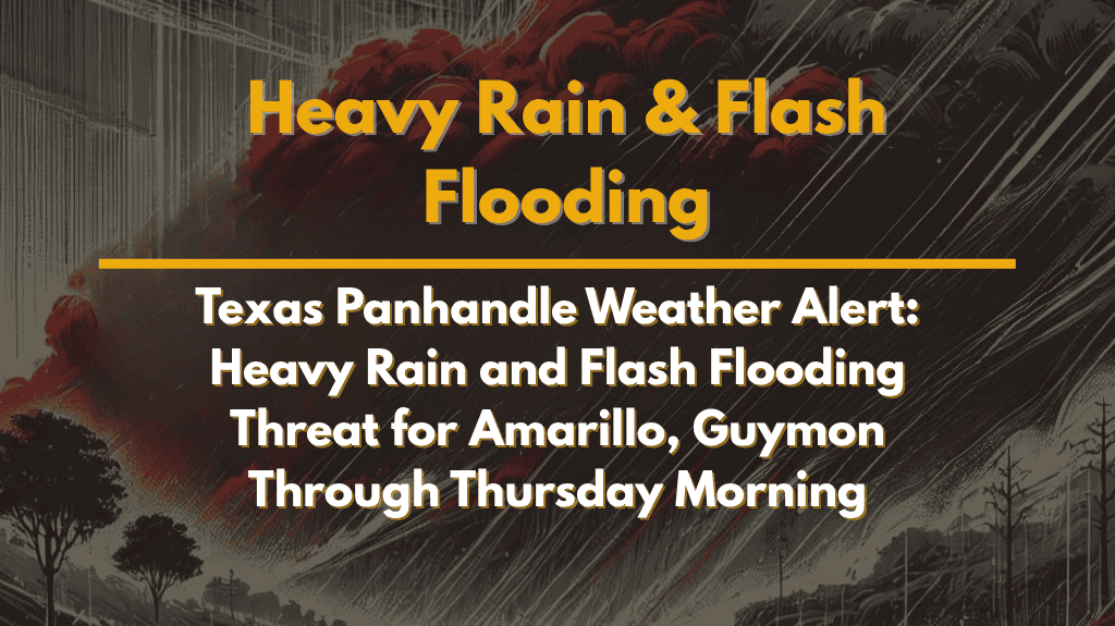
Severe weather is set to impact the northern Texas Panhandle, with heavy rain and flash flooding expected to affect areas like Amarillo, Guymon, and Canadian starting late Wednesday and continuing into early Thursday morning.
Timing and Flash Flooding Risk
According to the National Weather Service in Amarillo, a stalled cold front will bring widespread storms to the region, starting late Wednesday evening. The heaviest rainfall is expected to occur between 7 p.m. Wednesday and 7 a.m. Thursday, with rainfall rates reaching up to 1 to 3 inches per hour.
The most significant flash flooding risks will affect areas north of Amarillo, including Boise City, Guymon, Beaver, and Stratford, where there is a 30% to 60% chance of receiving more than one inch of rainfall. While Amarillo, Vega, and Hereford may see lighter rainfall totals, the risk of flooding remains a concern throughout the Panhandle.
Hazards to Watch For
The storms will bring multiple hazards, with the most significant being nighttime flooding. Low-lying areas and flood-prone regions are at the greatest risk, as heavy rain could lead to rapid rises in water levels. Dangerous road conditions are expected due to flash flooding, especially on roads near creeks or flood-prone intersections.
Residents in Borger, Pampa, Wheeler, and Canadian should remain vigilant and monitor local alerts, as these areas could see the heaviest rainfall. Drivers should avoid flooded roadways and take extra precautions, as visibility and road conditions will be compromised.
Additional Weather Threats
In addition to flooding, the storms will bring lightning and gusty winds, which could cause additional hazards. While the flash flooding threat is expected to peak overnight, additional showers could linger into Thursday morning before the system clears out.
How to Prepare
Residents are advised to:
Monitor local weather updates and have multiple ways to receive alerts, especially if traveling during the night.
Avoid driving on flooded roads and find alternate routes if needed.
Secure outdoor items that could be blown away by gusty winds.
Charge devices to stay informed in case of power outages.
The flash flooding threat will persist until 7 a.m. Thursday, with warnings remaining in effect until then. Additional advisories may be issued if rainfall totals exceed predictions. Stay alert and take the necessary steps to stay safe as this significant weather event unfolds.


