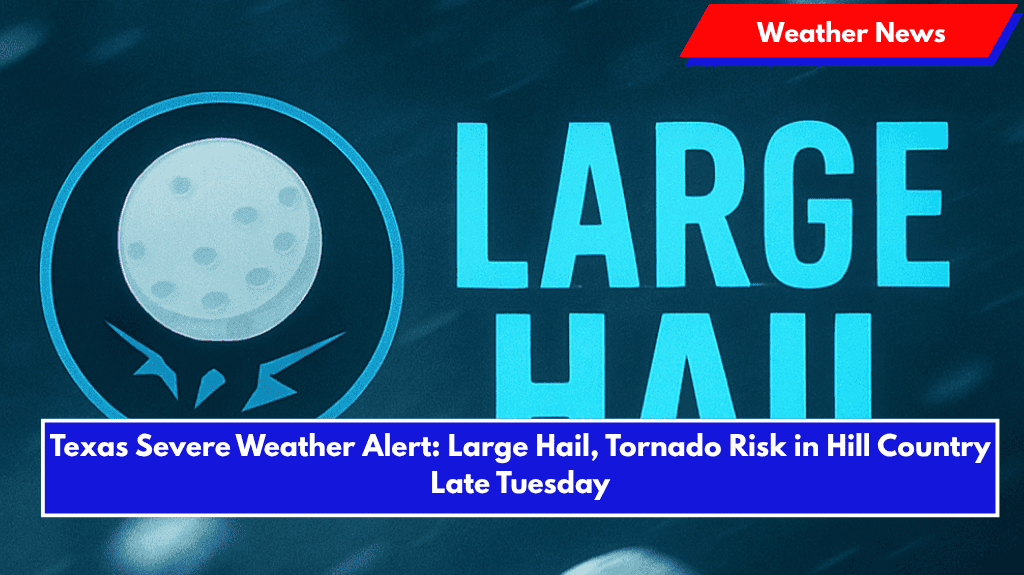
Austin, Texas – Damaging thunderstorms are expected to sweep across Central Texas late Tuesday, bringing large hail, isolated tornadoes, and heavy rain. The threat covers areas from Llano and Burnet counties through Austin and south into the Hill Country.
Timeline and Areas Affected
- Severe storm threat begins as early as 4 p.m. Tuesday in Llano and Burnet counties, with isolated storms possible.
- A more organized squall line may form later in the evening, moving south through the Edwards Plateau and the I-35 corridor, including areas north of Austin.
- Storm activity is expected to continue into the early hours of Wednesday.
Cities at Risk
Cities like Fredericksburg, San Marcos, and Georgetown may experience strong winds, frequent lightning, and large hail as the storms progress.
Threat Level and Safety Tips
The National Weather Service rates the threat as Level 2 out of 5, indicating scattered severe storms are possible. Residents are advised to:
- Secure outdoor belongings.
- Stay alert to weather updates.
- Have multiple ways to receive weather alerts, especially overnight.
Travel and Flooding Concerns
The storms may disrupt late-night travel on major routes including US 281, US 290, and I-35. Flash flooding is possible in areas with poor drainage.
Outlook
Storm threats should diminish by sunrise Wednesday, but residents should monitor local updates as additional watches or warnings may be issued.


