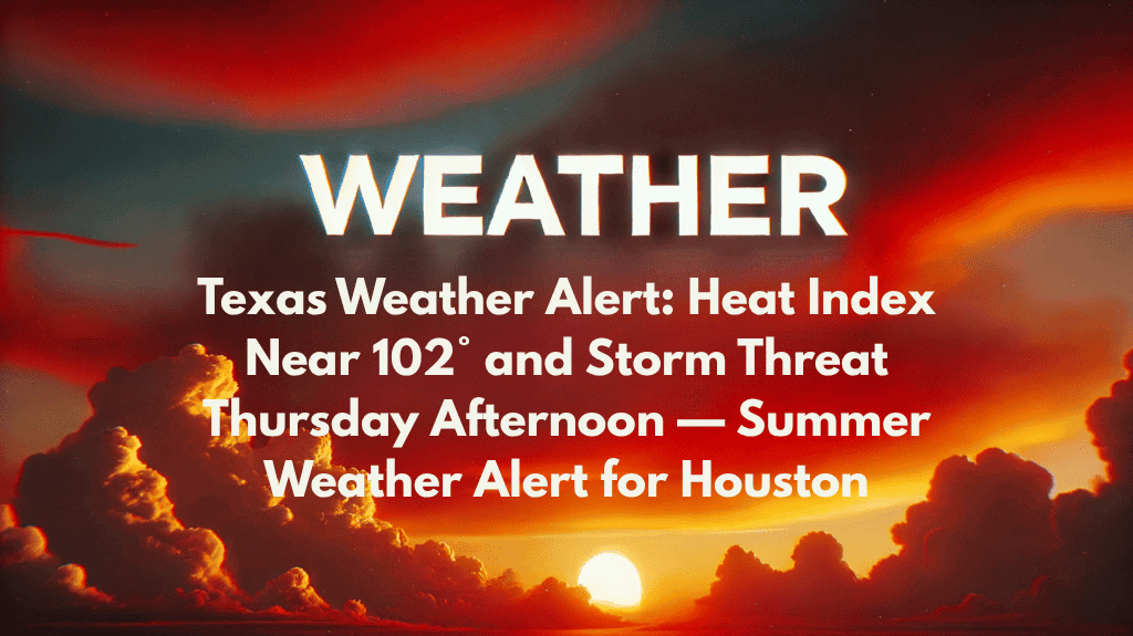
Houston, TX – Houston residents are in for a tough day on Thursday, with a combination of extreme heat and scattered thunderstorms. A summer weather alert is in effect as the heat index is expected to climb above 100°F, reaching up to 102°F, before thunderstorms roll through the area in the afternoon. This heat and storm combination poses risks for outdoor workers, drivers, and anyone planning to be outside during the hottest parts of the day.
Thunderstorms and Heat Risk on Thursday
The National Weather Service has issued a warning for Thursday, July 10th, with a 40% chance of thunderstorms starting after 1 p.m. The high temperature will be around 92°F, but with the heat index pushing up to 102°F, it will feel much hotter.
Winds coming from the southwest at 5 to 10 mph will provide only a slight break from the heat, but the bigger concern is the potential for sudden downpours and dangerous cloud-to-ground lightning as the thunderstorms approach, especially during the evening commute.
Travel and Safety Tips
Travelers on major roadways like I-45 and I-69 should be particularly cautious from 2 p.m. to 7 p.m., when storms are most likely. Drivers should be prepared for reduced visibility, ponding on roads, and potential traffic slowdowns due to the storms.
Anyone heading outside is encouraged to limit strenuous activity, stay hydrated, and seek shelter if thunder is heard. Lightning poses a major safety threat, so it’s essential to avoid open areas and seek cover.
Looking Ahead: Storms and High Humidity
The heat and storms will continue into Friday, with highs near 91°F and a 40% chance of thunderstorms in the afternoon. Saturday sees an increase in storm chances, with a 70% likelihood of rain, especially after 1 a.m. and through the afternoon.
Sunday will also be stormy, with more thunderstorm activity expected after 1 p.m., keeping humidity levels high and making conditions feel even more uncomfortable as we head into the workweek.
5-Day Forecast for Houston (July 10–15)
Thursday: Mostly sunny, high near 92°F. Afternoon storm chance (40%). Heat index up to 102°F.
Friday: Partly sunny, high near 91°F. Afternoon storms possible (40%).
Saturday: Showers and thunderstorms likely (70%). High near 90°F.
Sunday: Thunderstorms likely after 1 p.m. High near 92°F.
Monday: 50% chance of storms. High near 93°F. Hot and humid.
Stay tuned for further updates and weather alerts, as both the heat and storm risks will persist through the weekend and into early next week. Make sure to stay safe and weather-aware during the coming days.


