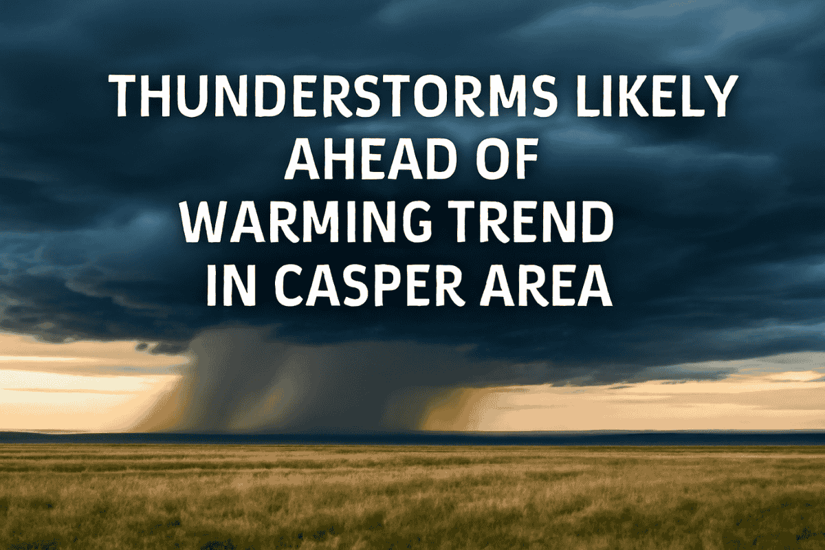
Casper, Wyoming is in for a week of weather changes, starting with stormy conditions followed by a warming trend. Central Wyoming will experience a mix of showers and thunderstorms, but temperatures are expected to rise later in the week, reaching the mid-90s by Thursday and Friday.
Stormy Start to the Week
The National Weather Service in Riverton has forecasted thunderstorms and showers for Monday and Tuesday afternoons and nights. These storms are expected to bring cooler temperatures, with Monday’s high reaching 87°F and Tuesday’s expected to be even cooler at 77°F. The storm activity will gradually ease as the week progresses.
Clear Skies Ahead
By Tuesday night, the weather is expected to calm down, with clear and sunny skies taking over. The temperature will start to climb as the storms dissipate. On Wednesday, the high temperature will be around 84°F, and by Thursday and Friday, the Casper area will experience highs in the mid-90s, marking the start of a warm stretch.
Weekend Outlook
Looking ahead to the weekend, the forecast predicts highs in the low 90s, with some breezy conditions. These blustery winds could make the temperatures feel cooler than they are. It looks like Casper will enjoy a sunny and warm weekend, although the winds could make things a bit gusty at times.
The Casper area will experience periods of thunderstorms at the start of the week, followed by a significant warming trend. As the week progresses, temperatures will rise, reaching the mid-90s by Thursday and Friday. Expect clear skies and sunny weather, with a bit of breeze to close out the weekend.


