The Twin Cities are in for a mostly calm and warm week, but residents should be ready for patchy fog early Tuesday morning, especially during rush hour. While skies will clear quickly after sunrise, a chance of late-day thunderstorms returns by Thursday, bringing a brief interruption to an otherwise pleasant stretch of weather.
Patchy Fog to Start Tuesday Morning
If you’re commuting early on Tuesday, expect reduced visibility, particularly in low-lying areas and near major routes like I-94 and Highway 52. Fog could form overnight as temperatures drop into the 60s, and may linger through the early morning hours.
Safety tips for morning drivers:
Allow extra travel time
Use low-beam headlights in fog
Maintain safe distances on highways
The good news is that sunshine will return by mid-morning, and the rest of the day looks dry and partly cloudy, with highs ranging from 80 to 85°F.
Midweek Weather: Warm and Mostly Quiet
Wednesday continues the mild and sunny trend, with pleasant highs in the low to mid-80s and cooler overnight temperatures between 55 and 65°F. It’s shaping up to be a great day for outdoor activities, with little to no chance of rain and lower humidity.
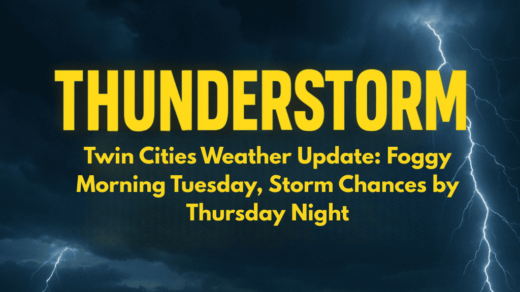
By Thursday, we’ll see a slight rise in both heat and humidity, as temperatures climb into the mid to upper 80s. While most of the day should stay dry, a 30% chance of thunderstorms develops by Thursday evening, especially as a weak front moves through the area.
Thursday Night Storms: What to Expect
While it won’t be a severe weather outbreak, the Twin Cities could see:
Isolated downpours
Lightning, especially during evening hours
Localized disruptions to outdoor plans
Event organizers and anyone planning evening activities should keep an eye on the forecast, as brief weather delays may occur.
Looking Ahead to the Weekend
After Thursday night’s storm chances, the weekend looks more stable and seasonable. Friday will clear out, with highs in the low 80s and mostly sunny conditions continuing through Saturday.
Here’s your 5-day Twin Cities forecast at a glance:
| Day | Forecast | High/Low (°F) |
|---|---|---|
| Tuesday | Patchy morning fog, partly cloudy | 80–85 / 58–65 |
| Wednesday | Mostly sunny and mild | 80–85 / 55–65 |
| Thursday | Warmer, evening storm chance (30%) | 82–87 / 60–65 |
| Friday | Clearing skies, pleasant | Low 80s |
| Saturday | Mostly sunny, comfortable | Upper 70s–Low 80s |
The Twin Cities will enjoy several days of quiet, summerlike weather, with the only interruption likely on Thursday evening due to a chance of thunderstorms. Until then, patchy fog Tuesday morning is the main concern for early commuters. With mild temperatures and plenty of sunshine through midweek, now is a great time to enjoy outdoor plans before the weather shifts briefly later in the week.


