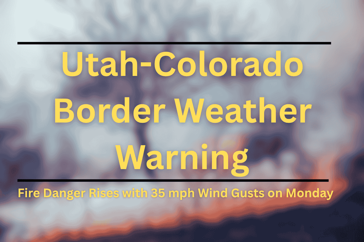
The wildfire risk is set to increase on Monday afternoon across western Colorado and eastern Utah, with a Red Flag Warning in effect from 1 p.m. to 8 p.m. This warning is issued due to dry conditions, high winds, and low humidity, which could lead to fast-moving fires in vulnerable areas.
High Fire Danger in Affected Areas
According to the National Weather Service in Grand Junction, critical fire weather conditions are expected across at least 13 zones, including the Lower Colorado River Valley, Gunnison Basin, and parts of the Book Cliffs and Eastern Uinta Basin. Southwest winds will be blowing at speeds of 10 to 25 mph, with gusts reaching up to 35 mph. Humidity levels are expected to drop to dangerously low levels, ranging from 4% to 10%.
Areas Under Red Flag Warning
The Red Flag Warning includes counties such as Mesa, Garfield, and Routt in Colorado, and Grand and San Juan in Utah. These regions will face the most dangerous conditions, where even the smallest sparks could quickly ignite fires.
Safety Measures and Precautions
With such high fire risk, officials are urging residents to take precautions. People are advised to avoid outdoor burning, keep trailer chains secure to prevent sparks, and exercise extreme caution when engaging in any activity that could produce a spark, such as grilling or operating machinery.
This warning also marks the second consecutive day of Red Flag conditions in some regions, signaling an ongoing threat of wildfires, similar to previous years in mid-June.
Possible Extension of Alerts
The Red Flag Warning remains in effect until 8 p.m. Monday, but if conditions continue, additional alerts could be issued in the coming days. It is important for residents to remain vigilant and stay updated on the weather.


