Hot, dry winds and fire weather alerts are expected to impact much of Utah on Patriot Day, September 11. Areas in and around Salt Lake City will need to be extra cautious as conditions could lead to fast-spreading wildfires, making outdoor plans riskier than usual. Here’s what you need to know to stay safe and plan ahead this week.
Red Flag Warning in Effect Across Utah on Patriot Day
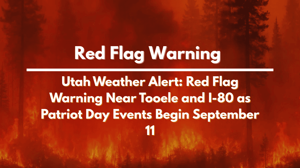
The National Weather Service has issued a Red Flag Warning for parts of western and central Utah, including the Salt Lake Desert and West Desert areas. This warning is active from 11 a.m. to 9 p.m. on Thursday, when strong winds and dry air are expected to combine with record-low humidity levels.
Winds will blow at 15–25 mph, with gusts reaching 40 mph, especially along I-80 and west of Tooele.
Relative humidity could drop to as low as 10%, increasing the risk of fast-moving wildfires.
Even a small spark could start a fire that spreads quickly, especially in dry grassy areas.
Officials are urging everyone to:
Avoid outdoor burning or campfires.
Be cautious with power tools, grills, or machinery that could create sparks.
Park vehicles on gravel or pavement—not on dry grass.
Hold off on fireworks or any activity involving open flames.
Impact on Patriot Day Events and Travel Plans
Patriot Day events and memorial services are expected to go ahead in the morning, as temperatures will be cooler and winds lighter during that time. However, event organizers should stay alert, monitor local advisories, and have backup plans ready in case winds pick up or air quality worsens.
For those traveling along I-80 or near Tooele, be prepared for dusty winds and sudden weather shifts. If you’re planning to drive through high-risk areas, keep your fuel tank full, carry water, and avoid pulling over near dry brush.
Weather Pattern Shifts Heading Into the Weekend
While Wednesday saw highs near 88°C, Thursday will be slightly cooler with a high of 82°C and a 20% chance of afternoon showers. Any moisture would be welcome, but the risk is that dry lightning could spark new fires instead of helping.
Here’s the full 5-day weather outlook for Salt Lake City:
| Day | High Temp | Conditions |
|---|---|---|
| Thursday | 82°C | Partly sunny, windy, 20% chance of showers/storms |
| Friday | 78°C | Mostly sunny, 40% chance of evening thunderstorms |
| Saturday | 76°C | Mostly sunny, slight chance of thunderstorms |
| Sunday | 82°C | Partly sunny, slight chance of afternoon showers |
| Monday | 82°C | Mostly sunny, scattered showers possible late |
How to Stay Prepared and Safe
To avoid risks and be ready for changing conditions, keep the following safety tips in mind:
Postpone outdoor fires or grilling.
Avoid activities that could cause sparks.
Keep your phone charged and emergency alerts turned on.
Watch the sky for signs of dust storms or lightning.
Stay indoors during peak wind hours if possible.
Even though a few showers are possible, they might not provide much relief and could add to the risk if lightning occurs without enough rain.
Looking Ahead
As we move into the weekend, temperatures will stay in the upper 70s and low 80s, with only a small chance of rain. While things may feel slightly cooler, the fire risk won’t fully go away until more steady rainfall comes into the forecast. Stay alert, stay safe, and keep an eye on local weather updates.


