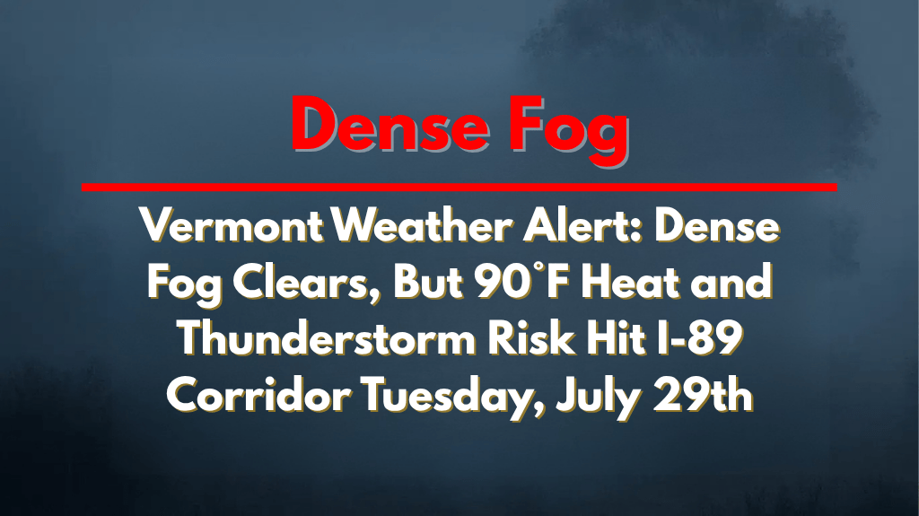
Burlington, Vermont – Vermont will experience a sudden burst of summer heat on Tuesday, July 29th, with temperatures soaring near 90°F. As the day progresses, thunderstorms are expected to develop by the afternoon, bringing a mix of heat and storm risks to the I-89 corridor.
Hot, Humid Conditions with Thunderstorms on the Way
Tuesday will start off sunny in most areas, but the weather will become unstable after 2 p.m., with a 20% chance of thunderstorms. The combination of heat and humidity will make conditions feel much hotter, especially in the southern valleys, where the risk of heat-related illnesses increases.
Key Safety Tip: Stay hydrated and try to stay indoors between noon and 5 p.m. to avoid the hottest part of the day.
Thunderstorms and Rainfall
After midnight on Tuesday, showers and thunderstorms will become more likely, especially in the Champlain Valley and along the I-89 corridor. Although rainfall is expected to be light, some isolated downpours and brief gusty winds could make roads slick, especially for those commuting early on Wednesday morning.
In Burlington, the temperature will peak near 90°F before cooling to the upper 60s overnight. Wednesday will bring a 60% chance of rain, with storms likely in the afternoon and a high of 83°F.
What to Expect in the Coming Days
Thursday, July 31: Partly sunny and dry, high of 76°F
Friday, August 1: Cooler and clear, high of 77°F
Saturday & Sunday, August 2–3: Mostly sunny, highs in the low 80s—classic early August weather.
Stay Prepared
Heat and storm threats will continue into Wednesday night. Be sure to monitor weather updates and advisories from the National Weather Service as conditions change.


