Winchester, VA – A line of slow-moving thunderstorms is expected to bring heavy rainfall to parts of Virginia, Maryland, and West Virginia today, increasing the risk of flash flooding across rural roads and urban lowlands.
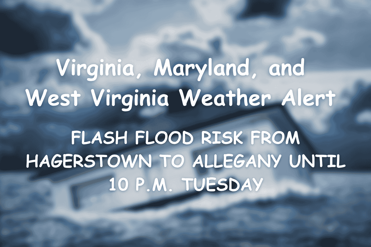
According to the National Weather Service (NWS), a Flood Watch is in effect from 11 a.m. to 10 p.m. Tuesday for several counties, including Washington County, MD, Frederick and Rockingham counties in Virginia, and Jefferson and Berkeley counties in West Virginia.
Rainfall rates could reach up to 2 inches per hour, with localized totals approaching 5 inches where storms repeatedly track over the same areas.
Flash Flooding Threat
The heavy rain is expected to cause flash flooding, particularly in low-lying areas. Shenandoah Valley and Blue Ridge areas are especially vulnerable, as well as urban locations like Fairfax, Manassas, and eastern Loudoun. Rural creeks near Moorefield, WV, and culverts in Culpeper, VA could rise rapidly by the late afternoon, causing potential flooding hazards.
Travelers are urged to avoid low-water crossings and never drive through flooded roadways. Residents in flood-prone areas should secure outdoor items and be ready for sudden changes in water levels.
Storms to Taper Off Later Tonight
The storms are expected to weaken later this evening, but the NWS has cautioned that additional alerts may be issued if rainfall rates exceed current projections.


