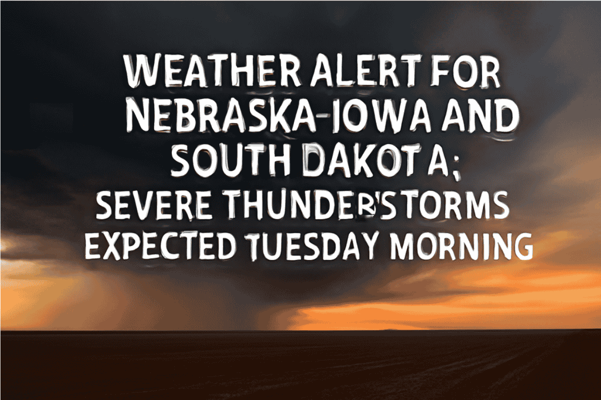
Residents along the southeastern South Dakota, Nebraska-Iowa line are advised to stay weather-aware overnight as severe thunderstorms are expected to develop between 1 a.m. and 7 a.m. Tuesday. These storms may bring large hail, damaging wind gusts, and heavy rain.
Storm Timing and Threats
The National Weather Service in Sioux Falls has issued a weather alert, warning that storms will move in from the west and southwest after midnight, with the strongest activity likely to affect areas south of Interstate 90.
While the overall confidence in widespread severe storms is low, forecasters caution that stronger storm cells could quickly become hazardous, and a brief tornado can’t be ruled out.
Areas of Concern
The highest risk areas include cities like Yankton, Mitchell, and Lake Andes, where wind gusts over 50 mph and hail larger than one inch in diameter are possible.
Motorists, especially those driving on U.S. Highways 81 and 18, should use extra caution during their early-morning commutes. Power outages and localized flooding may also occur if the storms become more intense.
Safety Tips
Officials recommend staying indoors during the peak threat window and ensuring that mobile alerts or NOAA Weather Radios are active to receive updates. Flash flooding may affect low-lying roads, especially as storm cells move through the area back-to-back.
Severe thunderstorm alerts will remain in effect until 7 a.m. Tuesday, with additional updates expected as the storms develop.
Severe thunderstorms are expected to impact the southeastern South Dakota, Nebraska-Iowa region overnight, with the potential for large hail, strong winds, and heavy rain. Residents should be cautious, especially during the early morning hours, and stay informed about any changing conditions.


