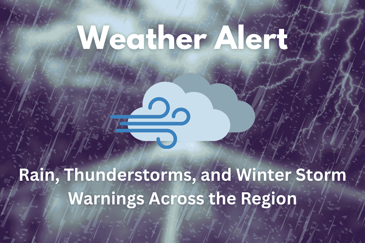
This weekend, weather conditions are expected to bring a combination of strong winds, rain, thunderstorms, and significant snowfall across various regions, including Madison River Valley, the West Glacier Region, and several other mountainous areas. The National Weather Service has issued several warnings and advisories, so residents and travelers should be prepared for potential disruptions and hazardous conditions.
High Wind Warning: Madison River Valley
A High Wind Warning is in effect until 8 p.m. for the Madison River Valley, including Ennis, Jeffers, Cameron, Norris, and McAllister. Southwest winds are expected to reach 30 to 40 mph, with gusts up to 60 mph. These strong winds could cause difficult driving conditions and potential power outages, so be cautious if traveling through these areas.
Winter Storm Warnings: West Glacier Region and East Glacier Park Region
The West Glacier Region will experience a Winter Storm Warning from 2 a.m. Saturday to noon Sunday. Heavy, wet snow is expected above 5000 feet, with the potential for 5 to 12 inches of snow above 6000 feet. Winds gusting up to 40 mph in exposed areas will create challenging conditions.
In the East Glacier Park Region, a Winter Storm Warning is also in effect from 9 a.m. Saturday to noon Sunday. Snow accumulations could reach 6 inches below 6000 feet, and between 12 and 18 inches above 6000 feet. Wind gusts up to 50 mph may cause hazardous travel, especially for those in high-altitude areas.
Winter Weather Advisories: Mountainous Regions
A Winter Weather Advisory is in effect for several mountainous regions. This includes the Southern Clearwater Mountains, Western Lemhi County, and Eastern Lemhi County, where snow accumulation is expected above 6000 feet. Total snow could reach up to 4 inches, with wind gusts around 30 mph. This advisory is in effect from 2 a.m. Saturday until noon Sunday.
Additionally, the Absaroka/Beartooth Mountains will see snow accumulation up to 4 inches from 6 p.m. Saturday to 6 p.m. Sunday. Wind gusts up to 30 mph will also impact exposed areas.
Another Winter Weather Advisory is in place from 6 p.m. Saturday to noon Sunday for areas such as the Little Belt and Highwood Mountains, Big Belt, Bridger and Castle Mountains, and other nearby regions. Snow accumulations up to 6 inches are expected, with gusty winds reaching up to 35 mph.
High Wind Warnings for Other Areas
A High Wind Warning is in effect from 9 a.m. Saturday to 3 a.m. Sunday for Eastern Glacier, Western Toole, and Central Pondera counties. West to northwest winds are expected to reach 35 to 45 mph, with gusts up to 60 mph. Travelers should take precautions as these winds could make driving difficult.
Showers and Thunderstorms: Weekend Rain
As a cold front moves through, showers and thunderstorms will continue through Saturday and Sunday. Some of these storms could become severe, so be alert for potential strong winds, heavy rain, and lightning. Highs over the weekend are expected to remain in the 50s, and overnight lows could drop into the 30s, bringing the possibility of frost, so a Frost Advisory may be issued.
What to Expect: Temperatures and Precipitation
Weekend: Rain chances will continue into Sunday, with temperatures hovering in the 50s during the day. The chance for severe thunderstorms remains, and some areas could experience snow in higher altitudes.
Monday: The rain should begin to diminish, but isolated showers may still be possible. Temperatures will warm up into the 70s and 80s as we enter a drier period for the week ahead.
Stay Prepared:
Travel: Be aware of hazardous conditions, especially in high-altitude areas and along routes like I-90 and I-15. Strong winds and snow accumulation could cause disruptions.
Safety: Secure outdoor items that could be blown around by strong winds, and avoid unnecessary outdoor activities during periods of heavy rain or snow.
Stay Informed: Monitor local weather alerts and be ready for changes in weather conditions, particularly in the mountains where snow accumulation could affect travel.


