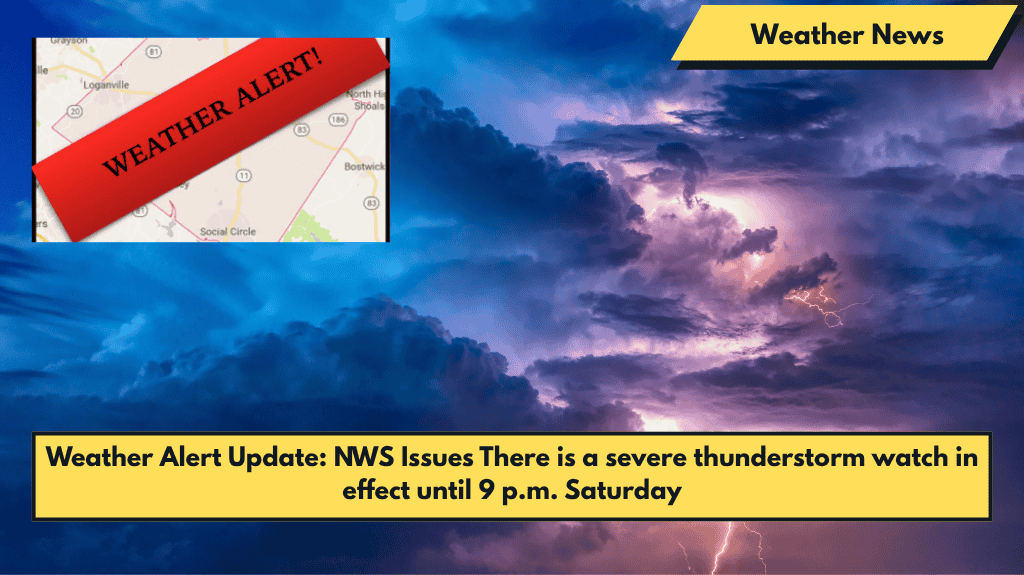
The National Weather Service (NWS) has issued a Severe Thunderstorm Watch for 62 counties, including Walton and Gwinnett counties, until 9 p.m. this evening. Stay alert as severe weather is likely to impact these areas, with possible warnings issued as storms approach. Radar indicates that the line of storms is expected to reach the local area after 6 p.m.
Hazards Include:
- Damaging winds, potentially between 50 to 70 mph
- Quarter-sized hail
- Possibility of a brief tornado
Severe Weather Likely Saturday into Sunday
Although there are no watches or warnings at the moment, the NWS has issued a hazardous weather outlook for north and central Georgia, including Walton, Gwinnett, and surrounding counties. Scattered strong to severe thunderstorms are expected this afternoon and evening across these areas, with primary threats of damaging winds, quarter-sized hail, and possibly brief tornadoes.
The severe weather pattern is expected to continue into Sunday, especially during the afternoon and evening hours. Central Georgia is at an increased risk, where strong wind gusts may occur.
Ongoing Risk Through the Week
The NWS predicts that thunderstorms will persist in Georgia through next Thursday, with the potential for severe weather each day. The forecast indicates a “rinse and repeat” pattern, where daily thunderstorm activity may lead to hazardous conditions, including strong winds and hail.
Stay Prepared
Keep a close watch on NWS updates and be prepared for watches and warnings as the storms approach. Stay safe and stay alert this evening and throughout the weekend!


