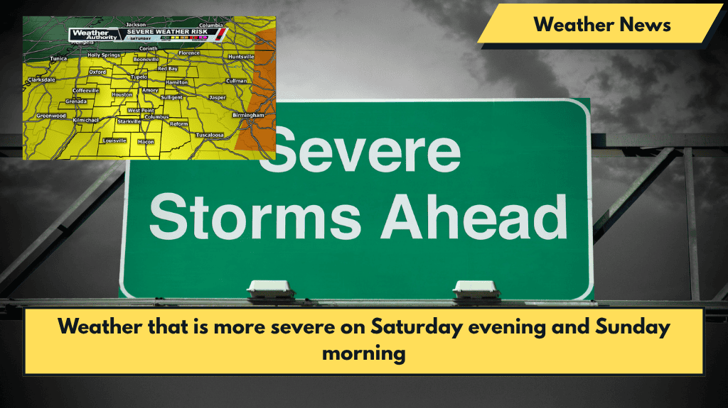
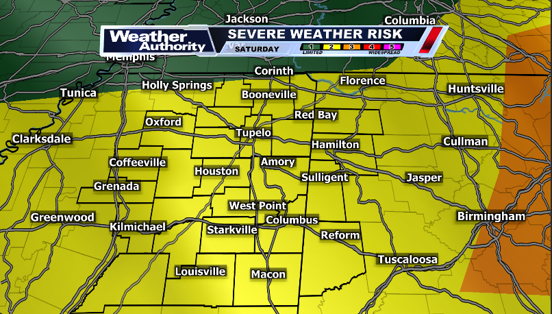
We’ve already had a busy day full of severe thunderstorms, and more are on their way. The active pattern will result in more thunderstorms forming after dark, with a few becoming stronger throughout the night.
These storms will start around 9 p.m. and continue into the early hours of Sunday. Hail and wind remain the primary threats, though a brief tornado is possible.
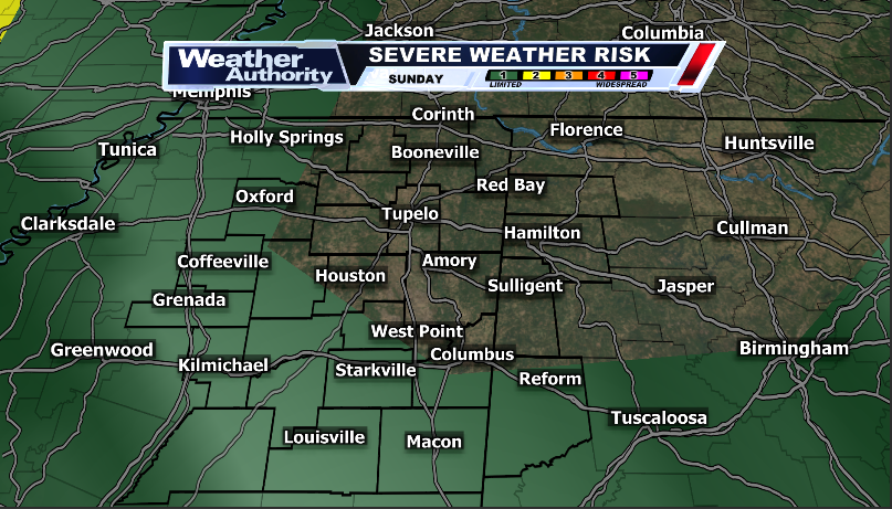
Thunderstorms are most likely to occur in the morning on Sunday. Again, some of these will be on the strong side. That means we should have our rain gear ready, especially if we live south of 82.
Sunday afternoon will see some isolated activity, but given the already depleted environment, it will take a lot for these storms to become stronger.
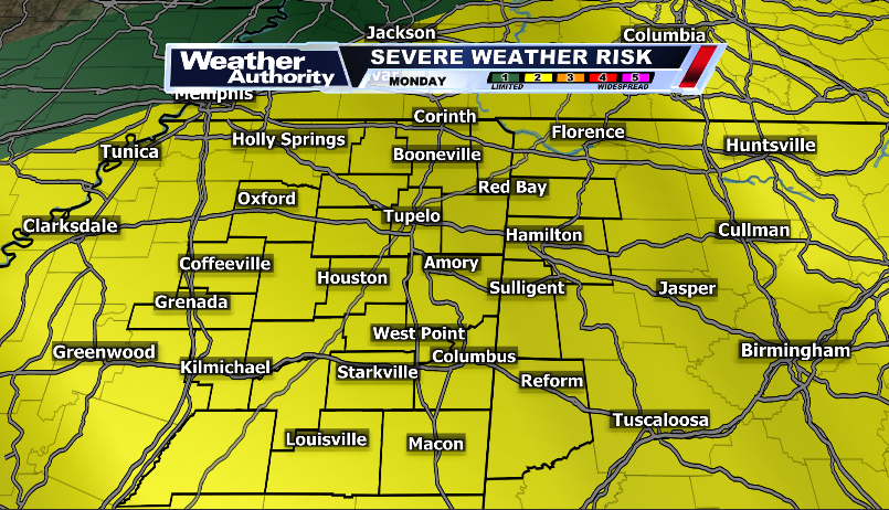
The severe weather threat continues into Monday as we sit under a level 2 risk. Thunderstorms containing gusty winds and large hail are once again possible. Basically, we need to stay weather aware all the way through Monday.
Beyond Monday, more rain is expected, so rain gear will be essential as the week progresses.


