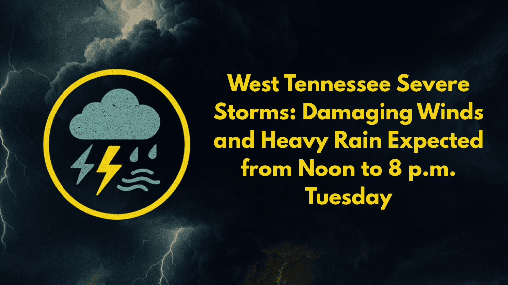
West Tennessee residents should be prepared for strong storms between noon and 8 p.m. Tuesday, with the main threats being damaging winds and heavy rainfall. The National Weather Service in Memphis has issued a weather alert for this afternoon, as storms are expected to sweep through the region, causing potential hazards.
Areas Affected and Timing
The storms will affect a broad area, including cities like Memphis, Bartlett, Clarksville, and Union City. However, the highest risk zone will stretch along the I-40 corridor, including Jackson, Dyersburg, and Paris. These storms will move from west to east, impacting various parts of West Tennessee throughout the day.
What to Expect from the Storms
Damaging Winds: Gusty winds could cause power outages, downed tree limbs, and make travel dangerous, especially in Shelby, Tipton, Lauderdale, and Crockett counties.
Heavy Rain: Localized flooding is a concern, particularly in low-lying areas and along highways such as I-55 and US-51. Drivers should be cautious of sudden water buildup, which can create hazardous road conditions.
Power Outages: The intense storms could lead to power disruptions, especially if winds knock down trees or power lines.
Safety Tips
As the storms roll through, emergency management urges residents to take the following precautions:
Secure Outdoor Items: Strong winds could blow objects around, so it’s essential to secure anything outside that could become a hazard.
Charge Cell Phones: With the risk of power outages, it’s a good idea to charge cell phones and other devices in advance.
Avoid Driving Through Flooded Roads: Do not attempt to drive through flooded streets, as even shallow water can cause your vehicle to stall or get swept away.
When Will the Weather Improve?
The severe weather threat will persist until 8 p.m. Tuesday, but conditions may worsen if storms intensify. Stay updated with local weather agencies for the latest alerts and advisories. This round of storms follows a trend of summer weather systems in the Mid-South, which have caused localized disruptions in the past.


