Charleston drivers may face slick commutes on I-64 Thursday as strong thunderstorms move through West Virginia, bringing heavy rain and gusty winds. Showers may intensify through Thursday night, causing travel delays, flooded roadways, and possible power outages.
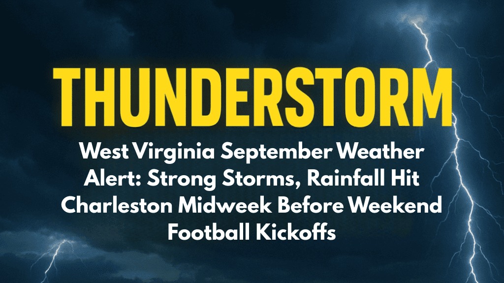
Storms are expected to hit Charleston on Wednesday afternoon and last until late Thursday.
Winds could gust up to 20 mph, with localized downpours totaling more than half an inch. Commuters on I-64 and Route 119 should be prepared for sudden visibility drops and ponding water during peak travel times.
Thursday’s high will be around 77°F before storms move in overnight. Scattered showers may continue into early Friday, with a 50% chance of rain during the morning commute.
Conditions improve by the weekend, but scattered showers return on Saturday, potentially disrupting outdoor fall activities and Friday night football games in Kanawha and Putnam counties.
Safety officials recommend avoiding flooded back roads and inspecting headlights, wipers, and phone chargers before driving. Residents should remain weather-aware, as alerts may last into the weekend.
Mostly sunny skies return Friday afternoon, with highs in the mid-80s. Saturday’s highs will be in the mid-70s, with showers expected. By Sunday, sunshine dominates, paving the way for more comfortable fall weather into early next week.
Warnings will remain in effect until Thursday night, with additional updates possible if storms worsen.
Five-Day Forecast for Charleston, WV:
Thursday: High 77°F, thunderstorms and showers likely, storm risk through late night.
Friday: High 86°F, mostly sunny, slight shower chance early.
Saturday: High 74°F, scattered showers, cooler.
Sunday: High 74°F, sunny and calm.
Monday: High 78°F, mostly clear and warmer.


