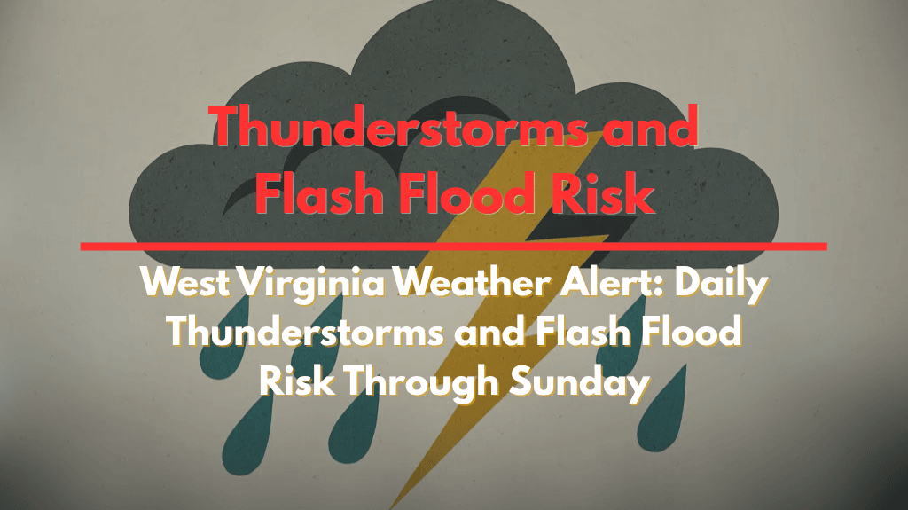
Charleston, West Virginia – Daily thunderstorms are expected to drench much of West Virginia and the Middle Ohio Valley through Sunday, with strong storms posing a flash flooding risk, especially in low-lying and urban areas.
According to the National Weather Service in Charleston, a stationary frontal boundary will lift north tonight, but it will leave behind a humid, unstable atmosphere. Upper-level disturbances through Thursday will trigger afternoon and evening thunderstorms, some of which could produce heavy downpours and frequent lightning. Highs will climb into the mid to upper 80s, with muggy lows in the low 70s overnight.
Wet Pattern Continues into the Weekend
By Friday, a new cold front will slide into the region from the northwest, likely stalling through the weekend. This will sustain the unsettled pattern and keep rain chances high across cities like Huntington, Parkersburg, and Clarksburg. Rainfall totals could overwhelm drainage systems, particularly in urban corridors and steep terrain.
Safety Measures and Travel Tips
Residents are urged to avoid driving through flooded roads, secure outdoor items, and keep electronic devices charged in case of power outages. Localized flooding could develop quickly during heavy bursts of rain, so stay alert for rapidly changing conditions.
This wet pattern is expected to last through Sunday night, with additional watches or warnings possible later in the week.


