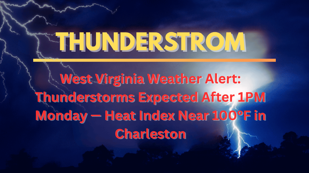
Charleston, West Virginia – On Monday, West Virginia will face a combination of intense heat and thunderstorms, making for a potentially dangerous afternoon and evening. Temperatures are forecast to reach 94°F, with the heat index pushing the “feels like” temperature closer to 100°F. Thunderstorms will develop after 1 p.m., and these storms could affect outdoor activities and travel in Charleston and nearby areas.
What to Expect on Monday
According to the National Weather Service, a 20% chance of thunderstorms will start after 1 p.m. on Monday, with storm chances increasing as the day goes on. By evening, the likelihood of thunderstorms jumps to 60%, with the strongest storms expected before 2 a.m. Tuesday. These storms could bring heavy rainfall, lightning, and isolated wind gusts.
The intense humidity and light winds will make the storms feel even more impactful, especially across Kanawha County and on major roads like I-64 and U.S. Route 60. The heat combined with thunderstorms creates potentially hazardous conditions for both outdoor plans and travel.
Travel and Safety Tips
If you’re planning to drive, be especially cautious during the Monday evening commute. Storms will likely cause slick roads, reduced visibility, and dangerous driving conditions. It’s advised to avoid non-essential travel after sunset, and ensure your phone and medical devices are fully charged in case of power outages.
Tuesday’s Forecast
The summer weather continues into Tuesday, with more thunderstorms likely to develop after 4 p.m. These storms will carry a 60% chance of rain, with a high of 88°F. Flash flooding and lightning remain concerns, so stay alert for changing weather conditions throughout the day and night.
Extended Forecast for Charleston
The rest of the week will continue to see summer thunderstorms, with highs around 89°F on Wednesday and Thursday. Each day carries a 60% chance of storms, and the risk of flash flooding and lightning remains throughout the week.
Charleston will experience a hot and stormy start to the week, with a 60% chance of thunderstorms Monday night and more storms expected on Tuesday. Residents should be prepared for intense heat, heavy rain, and hazardous travel conditions. Stay informed about weather updates, and take necessary precautions to stay safe during this active weather period.


