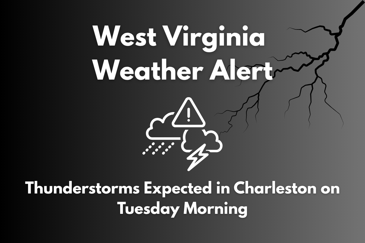
Charleston, West Virginia – Thunderstorms are set to impact Charleston and the surrounding areas early on Tuesday, potentially causing disruptions for commuters by 8 a.m. Heavy downpours are likely along I-64 and across Kanawha County, with localized flooding a concern, especially in low-lying areas. The rainfall is expected to intensify during the morning hours, leading to poor travel conditions.
Thunderstorm and Flooding Risk on Tuesday Morning
According to the National Weather Service in Charleston, Tuesday will begin with a 90% chance of rain and thunderstorms, which could last into the evening. The storms are expected to bring rainfall amounts ranging from a tenth to a quarter inch, with higher totals under stronger storm cells.
The biggest concern is flooding, as slow-moving thunderstorms could dump heavy rain on roadways during peak morning travel hours. This could result in water accumulation, especially near the Kanawha River and along I-77 and I-64, where water tends to pool.
Safety Tips for Commuters
Drivers should exercise caution on Tuesday morning, particularly in areas known for poor drainage. Wet roads can reduce visibility and increase reaction times, so it’s important to be extra careful while driving. If you encounter water covering the road, remember the rule: turn around, don’t drown. Avoid driving through flooded areas, as it only takes a small amount of water to cause a vehicle to lose control.
Calmer Weather Ahead for July 4
By Wednesday, conditions will improve significantly. The weather will calm, with sunny skies and lower humidity, making for a pleasant day. Fourth of July celebrations across Charleston and surrounding areas are expected to be under clear skies, offering a much-needed break from the storms earlier in the week.
Charleston 6-Day Forecast
| Day | Weather | High Temperature | Low Temperature | Additional Information |
|---|---|---|---|---|
| Tuesday (July 1) | 90% chance of showers and storms before noon | 83°F | – | Flooding risk early |
| Wednesday (July 2) | Sunny | 87°F | 64°F | Calm, dry air returns |
| Thursday (July 3) | Mostly sunny and hot | 88°F | 66°F | – |
| Friday (July 4) | Mostly clear skies for Independence Day | 90°F | 66°F | – |
| Saturday (July 5) | Sunny | 92°F | 70°F | – |
| Sunday (July 6) | Mostly sunny and hot | 93°F | – | – |
Tuesday’s thunderstorms will bring heavy rainfall and flooding risks, especially during the morning commute. However, the weather will improve significantly starting Wednesday, with sunny skies and warm temperatures perfect for Fourth of July celebrations. Be prepared for rain on Tuesday, but enjoy the calm and dry weather in the days following.


