Albany, NY – Drivers in parts of western Connecticut, the Hudson Valley, and southern Vermont should be prepared for hazardous travel conditions through Wednesday evening as heavy rainfall continues to trigger flash flooding in low-lying and poorly drained areas.
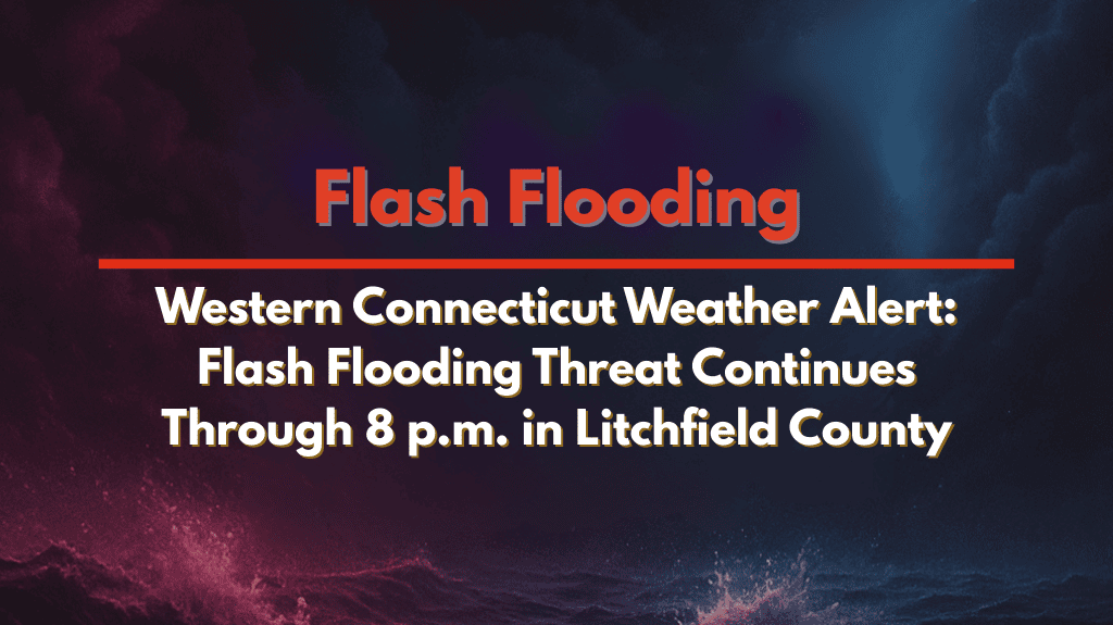
Flash Flooding Threat and Ongoing Flood Advisories
The National Weather Service in Albany has issued ongoing flood advisories for the following areas:
Litchfield County, Connecticut
Dutchess County, New York
Windham County, Vermont
Radar estimates show that 2 to 3 inches of rain have already fallen in these regions, with an additional 1 to 2 inches expected before storms taper off by 8 p.m. in Connecticut and New York, and by 7:15 p.m. in Vermont.
Areas Impacted by Flooding
In Litchfield County, communities such as Torrington, New Milford, Kent, and Thomaston are already seeing standing water. In Dutchess County, areas like Pawling, Millbrook, and Amenia may experience minor flooding, especially along local roads, creeks, and underpasses.
In Windham County, Vermont, places including Bellows Falls, Londonderry, and Saxtons River are at risk for flash flooding, particularly near smaller streams.
Travel Precautions and Safety Measures
Avoid flooded roads and follow detours if directed by local authorities
“Turn around, don’t drown” – do not attempt to drive through flooded areas, as this is a leading cause of flood-related deaths
Remain cautious of rapidly rising water in typically low-lying areas
Rain to Ease, but Watch for Possible Overnight Storms
While rainfall is expected to ease later this evening, additional weather alerts may be issued if slow-moving storms redevelop overnight. Stay alert and monitor local forecasts for any changes.


