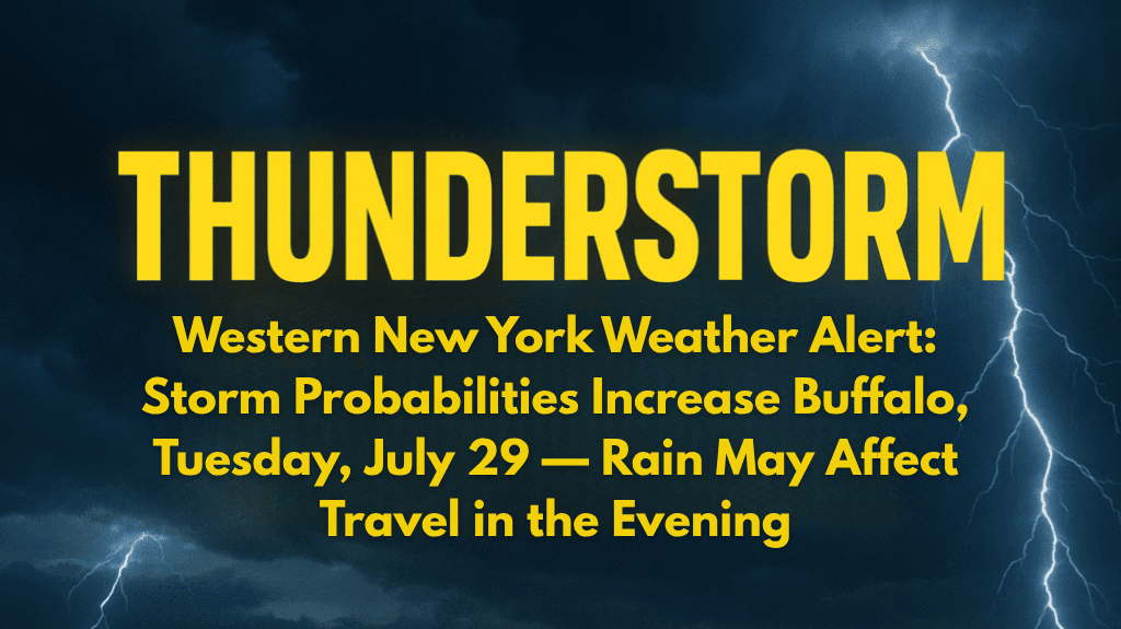
Buffalo, New York – Thunderstorms are expected to roll into Buffalo on Tuesday, July 29th, bringing lightning, downpours, and potential traffic delays along I-190 during the evening commute.
Thunderstorms Likely by Afternoon
According to the National Weather Service, isolated showers and thunderstorms will develop before 2 p.m. on Tuesday. The chance of rain and thunder will continue through the late afternoon and early evening, with conditions worsening just in time for the evening rush hour.
Although total rainfall is expected to remain low (under a tenth of an inch), localized downpours may lead to slick roads and brief visibility issues for drivers.
Travel Impact and Weather Safety Tips
Travel Impact: Drivers along I-190 should expect slower traffic and poor visibility during the storms.
Wind: Winds from the southwest will increase to 5–8 mph, which could make driving on exposed roadways a bit more hazardous.
Temperature: The high will reach 89°F, making it feel even hotter ahead of the storm system.
Buffalo residents are advised to stay updated with weather radar and avoid non-essential travel if storms intensify.
Clearing Skies and Drier Weather Ahead
After the thunderstorms on Tuesday, the threat will diminish by nightfall, and skies will clear into Wednesday morning. However, another round of rain could briefly impact Buffalo early Wednesday before 8 a.m., with conditions drying out for the rest of the week.
Five-Day Forecast for Buffalo, NY
Tuesday, July 29: Sunny early, thunderstorms after 2 p.m. | High: 89°F | 40% chance of rain
Wednesday, July 30: Showers possible early, then partly sunny | High: 82°F
Thursday, July 31: Mostly sunny, cooler | High: 76°F
Friday, August 1: Clear skies, dry summer pattern | High: 76°F
Saturday–Sunday, August 2–3: Sunny and dry, perfect for outdoor plans | Highs: near 83°F
Weekend Weather Preview
A warm, dry stretch is expected from Friday through Sunday, with seasonable temperatures and ideal conditions for outdoor activities across Western New York.


