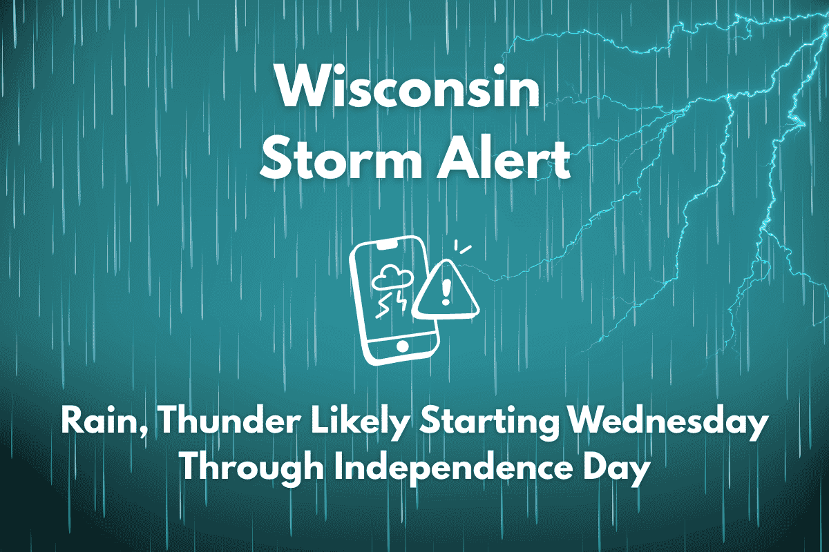
Northeast Wisconsin is bracing for a return of thunderstorms by midweek, with unsettled weather expected to persist through Independence Day. As holiday travelers hit the road and event planners make outdoor arrangements, it’s important to prepare for shifting skies and rising humidity, starting Wednesday.
Thunderstorms Expected Midweek and Into the Weekend
According to the National Weather Service in Green Bay, Tuesday will remain dry with pleasant conditions and highs in the low 80s. However, storm chances will increase starting Wednesday and continue through Friday, with scattered thunderstorms likely, including on July 4th. Daytime temperatures will climb into the mid-80s by Friday, but high humidity may make outdoor celebrations uncomfortable, particularly in Green Bay, Appleton, and Oshkosh.
Potential Interruptions to Outdoor Events
In Green Bay, Appleton, Oshkosh, and surrounding areas, thunderstorms may interrupt evening events, including fireworks displays. Heavy rainfall could reduce visibility on major roadways like I-41 and Hwy 29, leading to possible ponding or hazardous driving conditions. Travelers and event planners are encouraged to remain weather-aware and consider alternate indoor plans in case storms affect outdoor gatherings.
Unsettled Weather Mirrors Past July 4th Patterns
This stretch of weather is typical of past July 4th patterns in the region, where hit-or-miss storms are common. Residents and visitors are urged to stay tuned to the latest weather updates for changes in storm timing and intensity.
Five-Day Weather Outlook for Green Bay Area
| Day | Weather | High Temperature | Additional Information |
|---|---|---|---|
| Tuesday | Mostly sunny and dry | 80°F to 84°F | – |
| Wednesday | Chance of storms | 79°F to 87°F | – |
| Thursday | Slight chance of storms | 79°F to 85°F | – |
| Friday (July 4th) | Chance of storms, humid | 83°F to 90°F | – |


