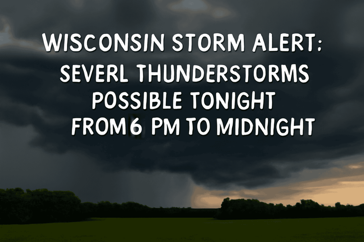
A weather alert has been issued for western Wisconsin and neighboring regions as scattered severe thunderstorms are expected to move through the area this evening, from 6 p.m. to midnight. The National Weather Service in La Crosse is warning residents to stay alert for potentially dangerous weather conditions.
Storm Timing and Threats
According to the National Weather Service, a broken line of thunderstorms is expected to move southeast from Minnesota, with a 30% chance of these storms becoming severe.
The highest risk zone includes parts of north-central Iowa, southeast Minnesota, and west-central Wisconsin, where damaging winds and hail are the primary threats.
Wind gusts could reach up to 70 mph, and hail as large as ping-pong ball size is possible. Additionally, localized flash flooding may occur, and there is a slight chance of a tornado in higher-risk areas.
Risk Levels
A Level 2 severe thunderstorm risk has been issued for much of the area, including cities like La Crosse and Eau Claire, with a Level 3 risk near Rochester and Red Wing, Minnesota.
While the storm intensity has slightly decreased from the morning forecast due to earlier weather activity, the threat remains significant, especially during the evening and overnight hours.
Safety Precautions
Residents are advised to stay weather-aware, have multiple methods of receiving weather alerts, and seek shelter indoors when storms approach. Stay tuned to local weather updates and be prepared for rapidly changing conditions. For ongoing updates, visit weather.gov/lacrosse.
Severe thunderstorms are expected to impact western Wisconsin and neighboring areas this evening, with threats of strong winds, large hail, and localized flooding. Residents should remain vigilant, monitor weather updates, and take shelter indoors if storms develop.


